Cedro, Ubatuba
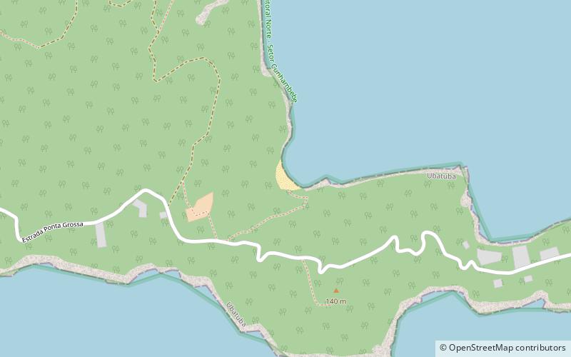
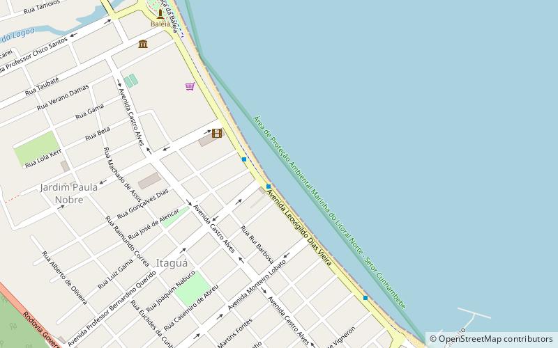
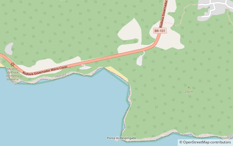
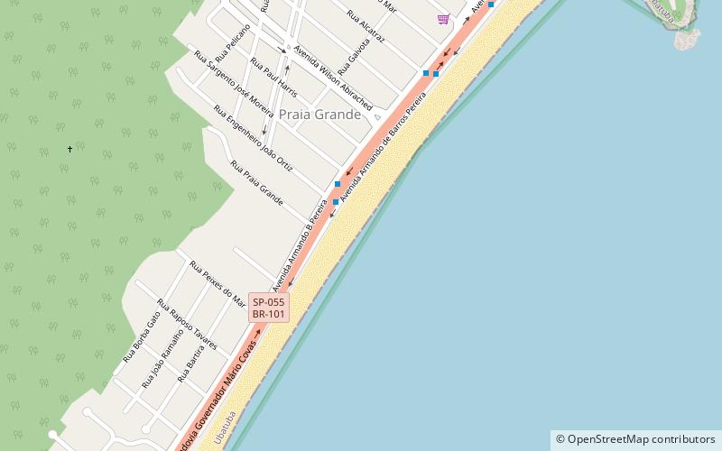
Map
Facts and practical information
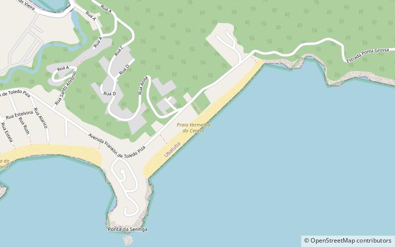
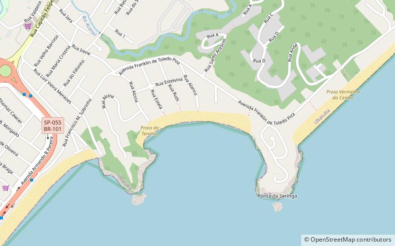
Cedro is a place located in Ubatuba (São Paulo state) and belongs to the category of beach, outdoor activities, park.
It is situated at an altitude of 39 feet, and its geographical coordinates are 23°27'34"S latitude and 45°2'6"W longitude.
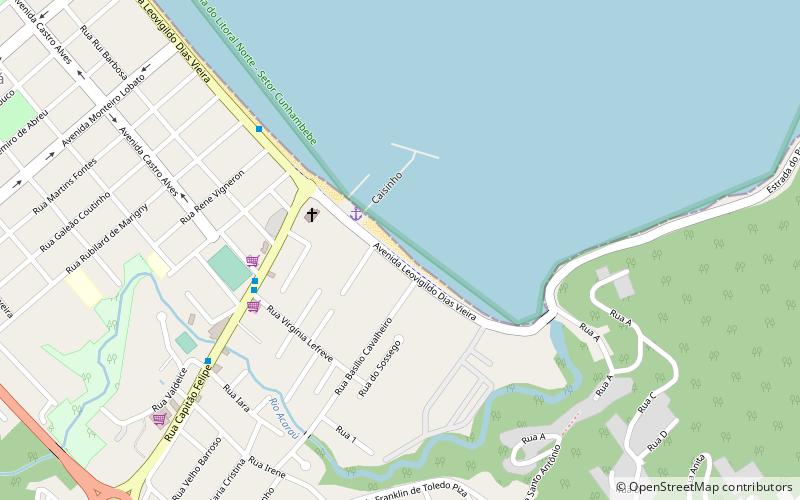
Among other places and attractions worth visiting in the area are: Prainha do Cais (beach, 23 min walk), Vermelha (beach, 25 min walk), Praia do Tenório (beach, 36 min walk).
Elevation: 39 ft a.s.l.Coordinates: 23°27'34"S, 45°2'6"W
Address
Ubatuba
ContactAdd
Social media
Add
Day trips