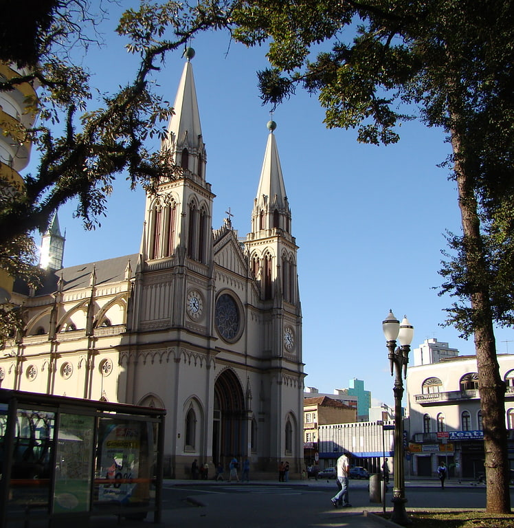
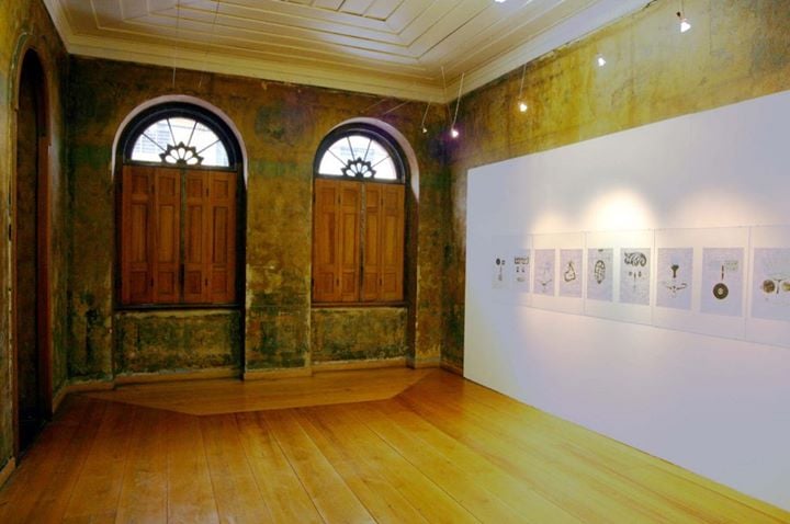
São Francisco Ruins, Curitiba
Facts and practical information
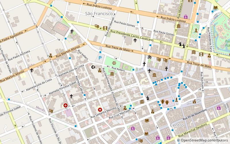
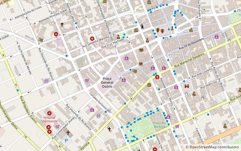
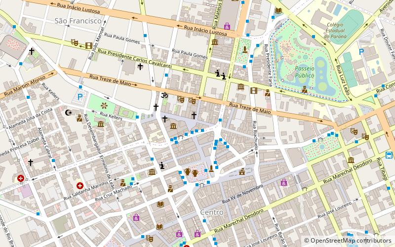
São Francisco Ruins (address: Praca Joao Candido) is a place located in Curitiba (Paraná state) and belongs to the category of church, historical place.
It is situated at an altitude of 3048 feet, and its geographical coordinates are 25°25'40"S latitude and 49°16'33"W longitude.
Planning a visit to this place, one can easily and conveniently get there by public transportation. São Francisco Ruins is a short distance from the following public transport stations: Praça Tiradentes (bus, 8 min walk).
Among other places and attractions worth visiting in the area are: Museu Paranaense (museum, 1 min walk), Escoteiros do Brasil (campsite, 1 min walk), Solar do Rosário (museum, 5 min walk).
Praca Joao CandidoRegional Matriz (São Francisco)Curitiba 80410-080
- Bus
 Bus
Bus
- Calculate routePraça Tiradentes 8 min walk
- Calculate routeEstação Tubo Passeio Público 14 min walk
- Calculate routeEstação Tubo Central 14 min walk
- Calculate routeEstação Tubo Praça Carlos Gomes 14 min walk
São Francisco Ruins – popular in the area (distance from the attraction)
Nearby attractions include: Cathedral Basilica Minor of Our Lady of Light, Shopping Mueller, Museu de Arte Contemporânea do Paraná, Tiradentes Square.


Frequently Asked Questions (FAQ)
Which popular attractions are close to São Francisco Ruins?
How to get to São Francisco Ruins by public transport?
Bus
- Praça Tiradentes • Lines: 979 (8 min walk)
- Estação Tubo Passeio Público (14 min walk)