Pico do Selado, Fernão Dias Environmental Protection Area
Map

Map

Facts and practical information
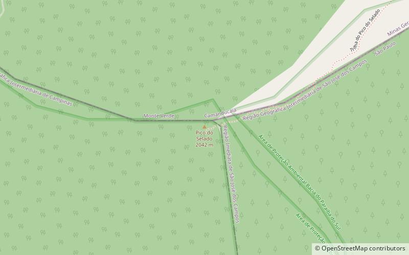
The peak of Selado is one of the peaks of the Mantiqueira mountain range, in the bordering portion between the district of Monte Verde in the municipality of Camanducaia, Minas Gerais, Joanópolis, in São Paulo and the district São Francisco Xavier, in the city of São José dos Campos, also in São Paulo. It has an altitude of 2,082 meters.
Coordinates: 22°53'48"S, 46°3'6"W
Address
Fernão Dias Environmental Protection Area
ContactAdd
Social media
Add
Day trips
Pico do Selado – popular in the area (distance from the attraction)
Nearby attractions include: Shopping Celeiro - Monte Verde.

