Pedra de São Domingos, Córrego do Bom Jesus
Map

Map

Facts and practical information
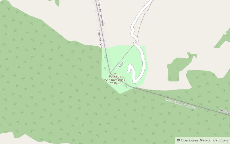
Pedra de São Domingos is a rock formation located between the municipalities of Córrego do Bom Jesus and Gonçalves, Minas Gerais, Brazil. The gneiss landform is one of the highest points in the Mantiqueira Mountains. At its highest point, the elevation is 2,050 metres. ()
Day trips
Pedra de São Domingos – popular in the area (distance from the attraction)
Nearby attractions include: Henriques waterfall.

