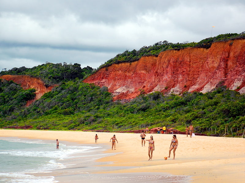
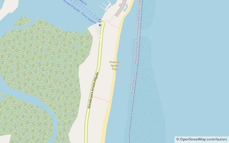
Apaga Fogo, Porto Seguro
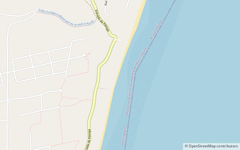
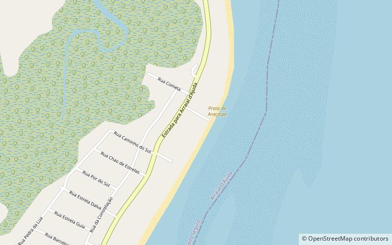
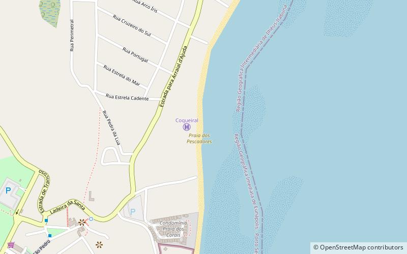
Map
Facts and practical information
Apaga Fogo is a place located in Porto Seguro (Bahia state) and belongs to the category of beach.
It is situated at an altitude of 16 feet, and its geographical coordinates are 16°27'46"S latitude and 39°3'39"W longitude.
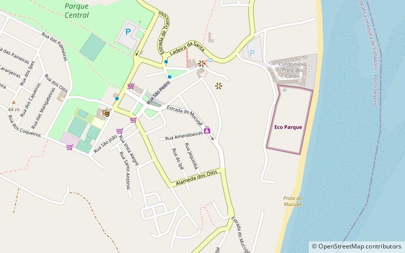
Among other places and attractions worth visiting in the area are: Araçaípe (beach, 22 min walk), Shopping Avenida (shopping, 31 min walk), Porto Plaza Shopping (shopping, 37 min walk).
Coordinates: 16°27'46"S, 39°3'39"W
Address
Porto Seguro
ContactAdd
Social media
Add
Day trips