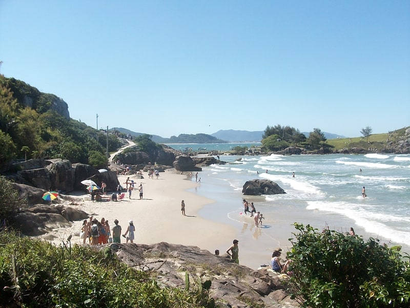
Praia da Armação, Florianopolis

Gallery (1)
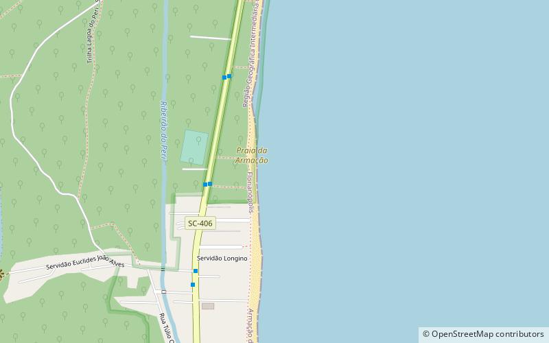
Map
Map
Facts and practical information
Praia da Armação is a place located in Florianopolis (Santa Catarina state) and belongs to the category of beach.
It is situated at an altitude of 0 feet, and its geographical coordinates are 27°44'11"S latitude and 48°30'26"W longitude.
Planning a visit to this place, one can easily and conveniently get there by public transportation. Praia da Armação is a short distance from the following public transport stations: Rodovia SC-406 (bus, 18 min walk).
Among other places and attractions worth visiting in the area are: Matadeiro (beach, 35 min walk), Praia da Lagoinha do Leste (beach, 74 min walk), Lagoa da Chica (park, 78 min walk).
Coordinates: 27°44'11"S, 48°30'26"W
Address
Florianopolis
ContactAdd
Social media
Add
Getting there by public transportation
Public transportation stops near this location
- Bus
 Bus
Bus
- Calculate routeRodovia SC-406 18 min walk
- Calculate routeSc-406 18 min walk
Day trips


Frequently Asked Questions (FAQ)
How to get to Praia da Armação by public transport?
The nearest stations to Praia da Armação:
Bus
Bus
- Rodovia SC-406 • Lines: 562, 563, 564 (18 min walk)
- Sc-406 • Lines: 466, 562, 563, 564 (18 min walk)