Centro Esportivo do Socorro, Mogi das Cruzes
Map

Map

Facts and practical information
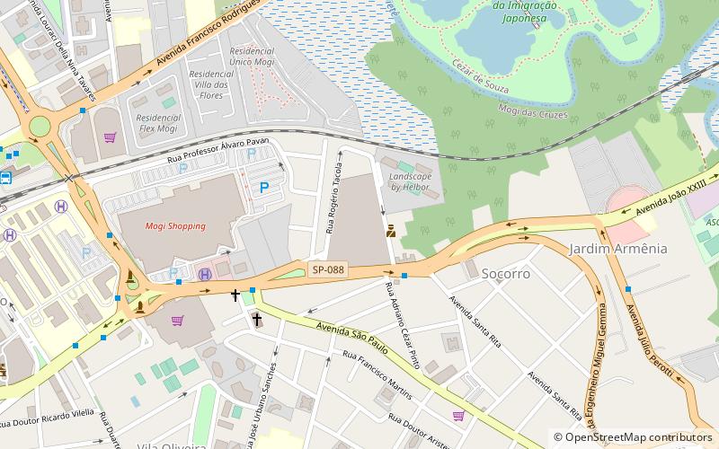
Centro Esportivo do Socorro (address: R Rogério Tacola, 118 - Jardim Armênia - Mogi das Cruzes, SP) is a place located in Mogi das Cruzes (São Paulo state) and belongs to the category of entertainment.
It is situated at an altitude of 2477 feet, and its geographical coordinates are 23°30'57"S latitude and 46°10'31"W longitude.
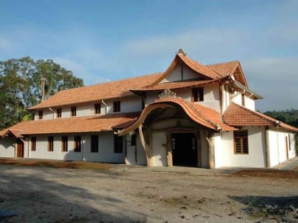
Among other places and attractions worth visiting in the area are: Casarão do Chá (museum, 138 min walk).
Coordinates: 23°30'57"S, 46°10'31"W
Address
R Rogério Tacola, 118 - Jardim Armênia - Mogi das Cruzes, SPMogi das Cruzes
ContactAdd
Social media
Add
Day trips
Centro Esportivo do Socorro – popular in the area (distance from the attraction)
Nearby attractions include: Casarão do Chá.

