Port of Porto Alegre, Porto Alegre
Map
Map

Facts and practical information
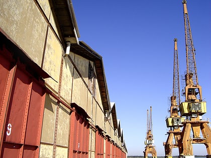
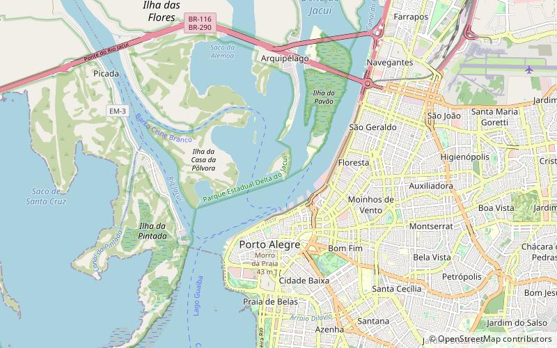
The Port of Porto Alegre is an inland port located in Guaíba Lake in Porto Alegre, Rio Grande do Sul, Brazil. It is connected to Downtown Porto Alegre. Superintendência de Portos e Hidrovias was established to manage and distribute cargoes throughout the State of Rio Grande do Sul. To assure effective operations, SPH seeks to provide modern infrastructure and technological support to the Port of Porto Alegre. ()
Day trips
Port of Porto Alegre – popular in the area (distance from the attraction)
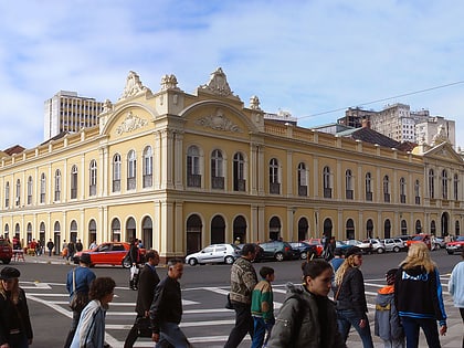
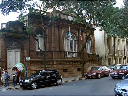
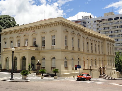
Nearby attractions include: Porto Alegre Public Market, Museu Júlio de Castilhos, Theatro São Pedro, UFCSPA.
Frequently Asked Questions (FAQ)
Which popular attractions are close to Port of Porto Alegre?
Nearby attractions include Cais Mauá, Porto Alegre (15 min walk), Porto Alegre Public Market, Porto Alegre (18 min walk), Monumento aos Açorianos, Porto Alegre (19 min walk), Fonte Talavera de la Reina, Porto Alegre (19 min walk).
How to get to Port of Porto Alegre by public transport?
The nearest stations to Port of Porto Alegre:
Ferry
Bus
Metro
Ferry
- Terminal Hidroviário de Porto Alegre • Lines: Travessia Porto Alegre - Guaíba (14 min walk)
Bus
- Terminal Mauá - Metropolitano (16 min walk)
- Terminal Largo Visconde do Cairu (16 min walk)
Metro
- Rodoviária • Lines: 1 (16 min walk)
- Mercado • Lines: 1 (16 min walk)

