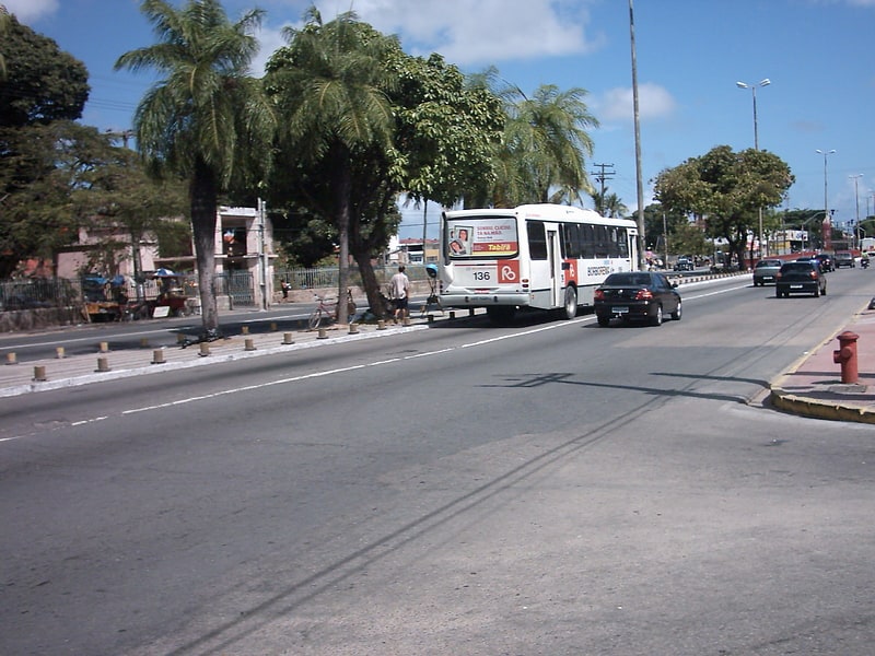
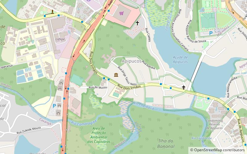
Avenida Caxangá, Recife
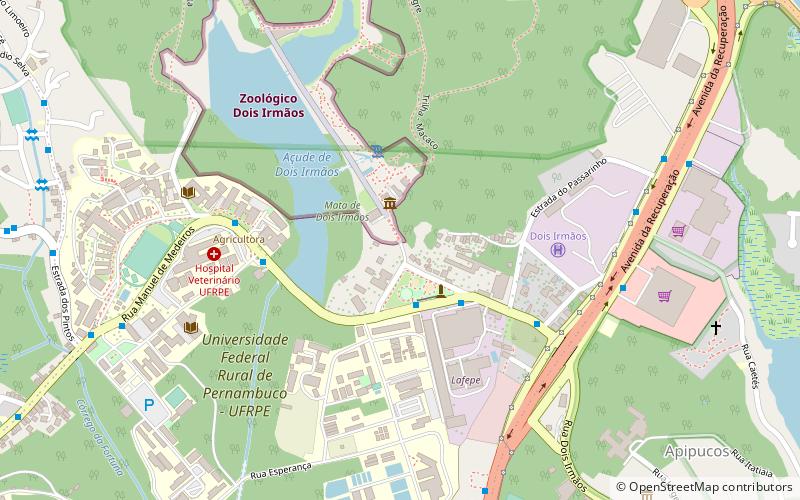
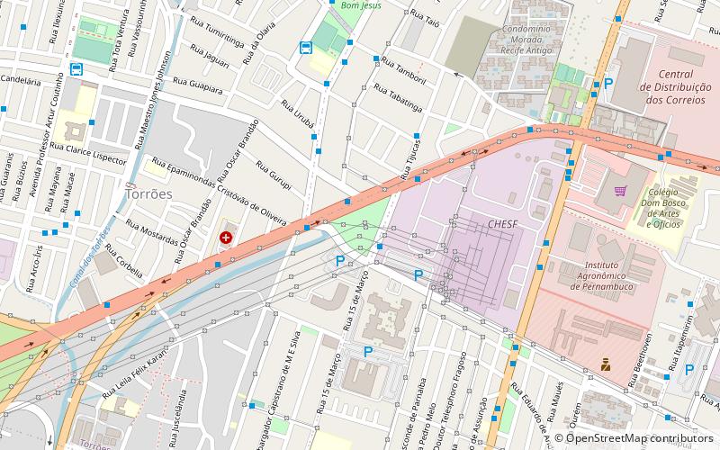
Map
Facts and practical information
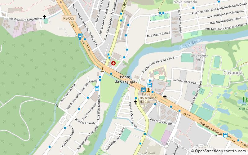
Avenida Caxangá (address: Rua São Francisco de Paula, 103) is a place located in Recife (Pernambuco state) and belongs to the category of bridge.
It is situated at an altitude of 30 feet, and its geographical coordinates are 8°1'50"S latitude and 34°57'24"W longitude.
Planning a visit to this place, one can easily and conveniently get there by public transportation. Avenida Caxangá is a short distance from the following public transport stations: EBRT Capibaribe (bus, 3 min walk).
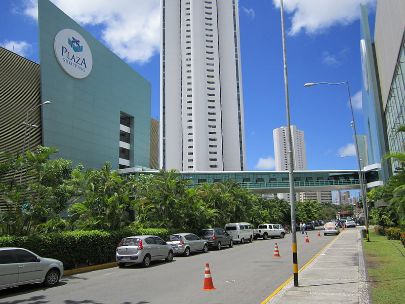
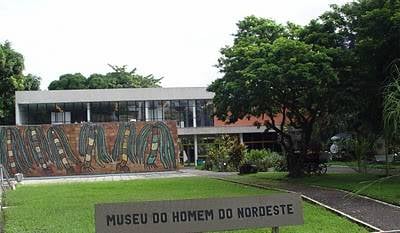
Among other places and attractions worth visiting in the area are: Caxangá (golf, 16 min walk), Parque Dois Irmãos (aquarium, 36 min walk), Casa-Museu Gilberto Freyre (museum, 37 min walk).
Coordinates: 8°1'50"S, 34°57'24"W
Address
Rua São Francisco de Paula, 103RPA4 (Caxangá)Recife
ContactAdd
Social media
Add
Getting there by public transportation
Public transportation stops near this location
- Bus
 Bus
Bus
- Calculate routeEBRT Capibaribe 3 min walk
- Calculate routeCapibaribe Station 3 min walk
- Calculate routeUPA da Caxangá 3 min walk
- Calculate routeTerminal Integrado Caxangá 4 min walk
Day trips

Frequently Asked Questions (FAQ)
How to get to Avenida Caxangá by public transport?
The nearest stations to Avenida Caxangá:
Bus
Bus
- EBRT Capibaribe • Lines: 2450, 2480 (3 min walk)
- Capibaribe Station (3 min walk)