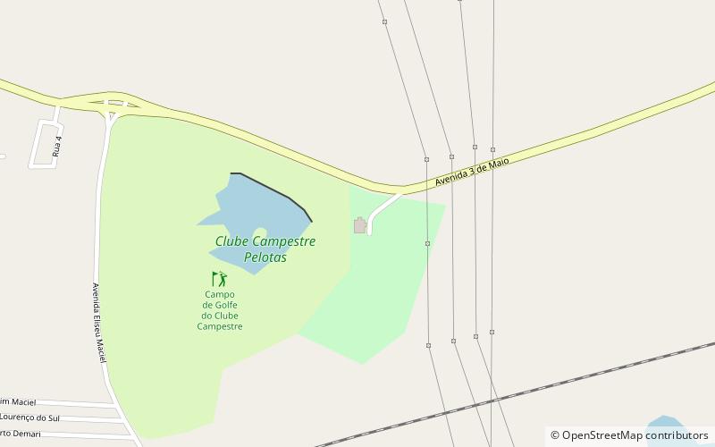
Campestre, Pelotas

Gallery (1)
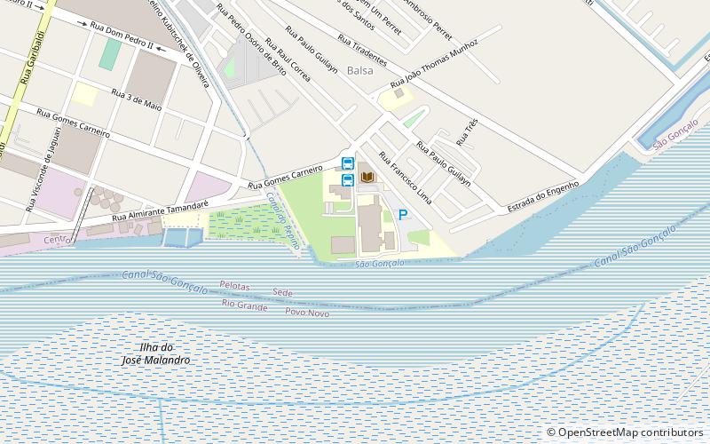
Map
Map
Facts and practical information
Campestre (address: Av. Três de Maio, 1017) is a place located in Pelotas (Rio Grande do Sul state) and belongs to the category of sightseeing.
It is situated at an altitude of 46 feet, and its geographical coordinates are 31°45'54"S latitude and 52°24'45"W longitude.
Among other places and attractions worth visiting in the area are: Espaço de Arte Daniel Bellora (museum, 103 min walk), Sudeste Rio-Grandense (area, 105 min walk), Estádio Boca do Lobo (football, 115 min walk).
Coordinates: 31°45'54"S, 52°24'45"W
Address
Av. Três de Maio, 1017Pelotas
ContactAdd
Social media
Add
Day trips