Trek Zone

Estrada de Aguazinha, Olinda

#6 among attractions in Olinda

Bridge
Estrada de Aguazinha

Facts and practical information

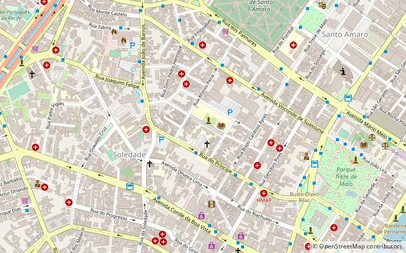
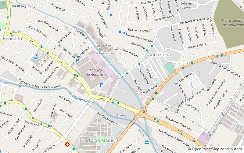
Estrada de Aguazinha (address: Rua Tunísia 330 H) is a place located in Olinda (Pernambuco state) and belongs to the category of bridge.

It is situated at an altitude of 39 feet, and its geographical coordinates are 8°0'9"S latitude and 34°53'12"W longitude.

Among other places and attractions worth visiting in the area are: Estádio do Arruda, Recife (football, 44 min walk), Mirabilandia, Recife (amusement park, 59 min walk), Contemporary Art Museum of Pernambuco (specialty museum, 63 min walk).

Coordinates: 8°0'9"S, 34°53'12"W
Address

Rua Tunísia 330 HOlinda Brazil

ContactAdd
Social media
Add

Olinda plan & book

Unleash the traveler in you — discover the cheapest flight deals, find the perfect hotel or hostel nearby, and search for the best car rental prices. Travel at your own pace to discover new places and enjoy your journey.

Day trips

Estrada de Aguazinha – popular in the area (distance from the attraction)

Nearby attractions include: Mirabilandia, Plaza Casa Forte, Mosteiro de São Bento, Multiplex Shopping Tacaruna.

  • mirabilandia recife2.3 miSE
  • plaza casa forte recife3 miSW
  • mosteiro de sao bento olinda2.6 miSE
  • multiplex shopping tacaruna recife2.7 miSE
  • unicap recife location map
    3.6 miS
  • museu do estado de pernambuco recife3.1 miS
  • recife brazil temple2.9 miSW
  • academia pernambucana de letras recife2.8 miSW
  • museum of the northeastern man recife3.3 miSW
  • contemporary art museum of pernambuco olinda2.5 miE
  • igreja da se olinda2.7 miE

Where to next? Visit pernambuco Pernambuco region page or discover the top tourist attractions in Brazil.