Itanhangá Park, Campo Grande
Facts and practical information
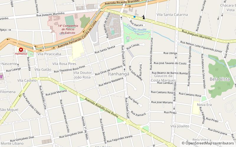
Itanhangá Park is a place located in Campo Grande (Mato Grosso do Sul state) and belongs to the category of park, relax in park, jogging paths and tracks.
It is situated at an altitude of 1821 feet, and its geographical coordinates are 20°28'13"S latitude and 54°36'8"W longitude.
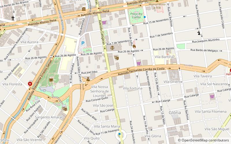
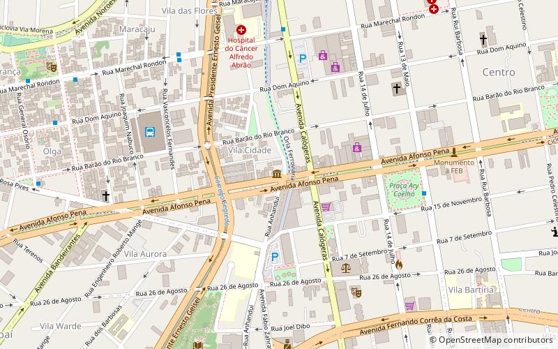
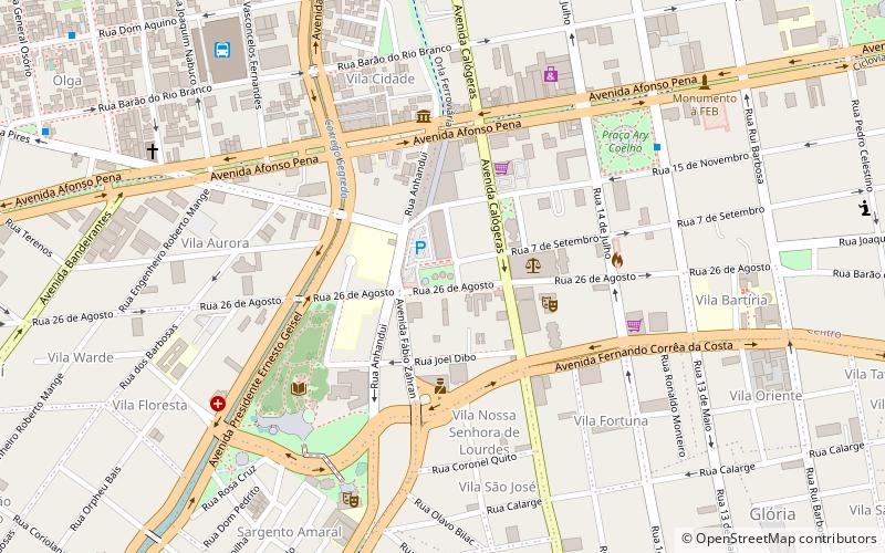
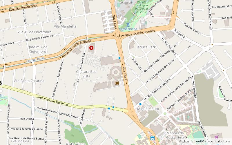
Planning a visit to this place, one can easily and conveniently get there by public transportation. Itanhangá Park is a short distance from the following public transport stations: Terminal Hércules Maymone (bus, 22 min walk).
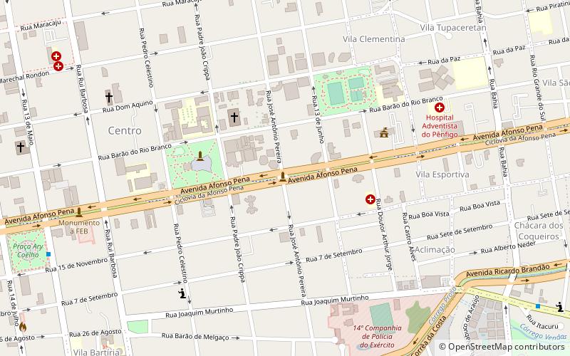
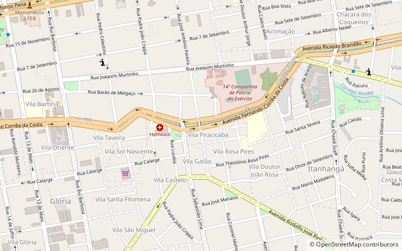
Among other places and attractions worth visiting in the area are: Rua José Antônio Pereira (bridge, 10 min walk), Obelsik (memorial, 17 min walk), Anhanguera-Uniderp University (universities and schools, 19 min walk).
Campo Grande
- Bus
 Bus
Bus
- Calculate routeTerminal Hércules Maymone 22 min walk
- Calculate routeEucatur 38 min walk
Itanhangá Park – popular in the area (distance from the attraction)
Nearby attractions include: Metropolitan Cathedral of Our Lady of the Abbey and St. Anthony, Mercado Municipal Antônio Valente, José Antônio Pereira Museum, Obelsik.

Frequently Asked Questions (FAQ)
Which popular attractions are close to Itanhangá Park?
How to get to Itanhangá Park by public transport?
Bus
- Terminal Hércules Maymone (22 min walk)
- Eucatur (38 min walk)