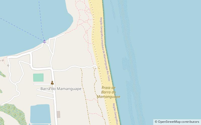
Praia de Barra do Mamanguape, Barra do Rio Mamanguape Environmental Protection Area
Map
Facts and practical information
Praia de Barra do Mamanguape is a place located in Barra do Rio Mamanguape Environmental Protection Area (Paraíba state) and belongs to the category of outdoor activities, park, beach.
It is situated at an altitude of 13 feet, and its geographical coordinates are 6°46'35"S latitude and 34°55'6"W longitude.
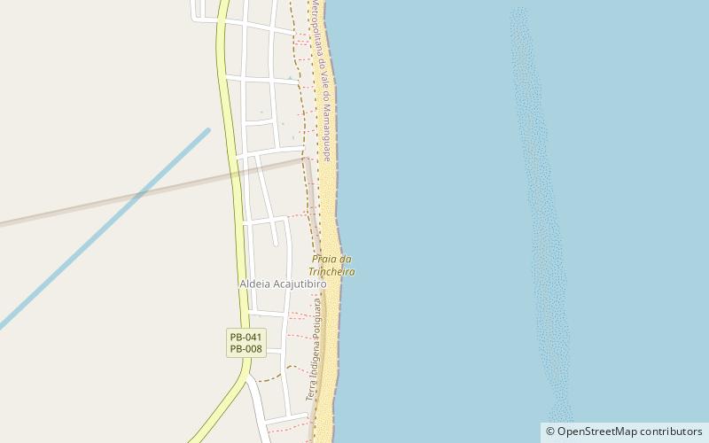
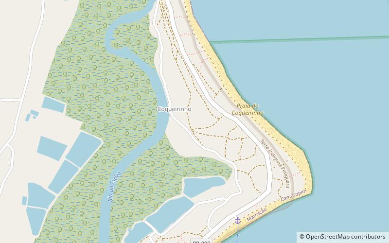
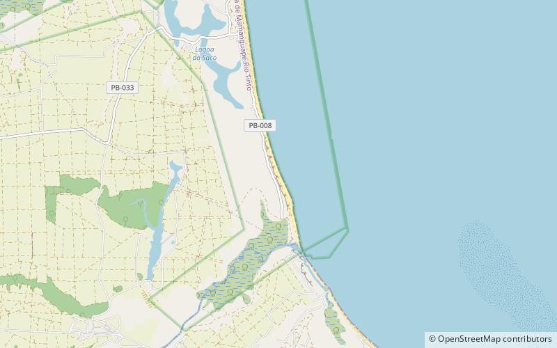
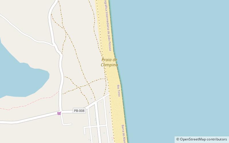
Among other places and attractions worth visiting in the area are: Praia de Campina (beach, 61 min walk), Praia do Coqueirinho (beach, 74 min walk), Praia de Oiteiro (beach, 128 min walk).
Elevation: 13 ft a.s.l.Coordinates: 6°46'35"S, 34°55'6"W
Address
Barra do Rio Mamanguape Environmental Protection Area
ContactAdd
Social media
Add
Day trips