Museu da Estrada de Ferro Madeira-Mamoré, Porto Velho
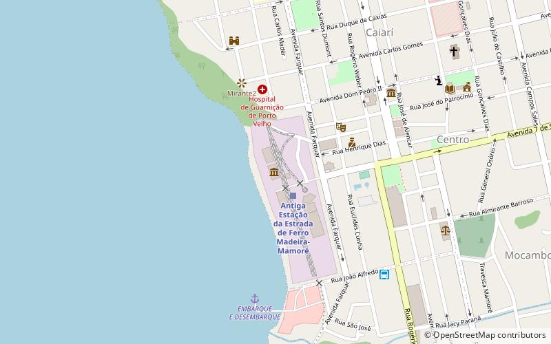
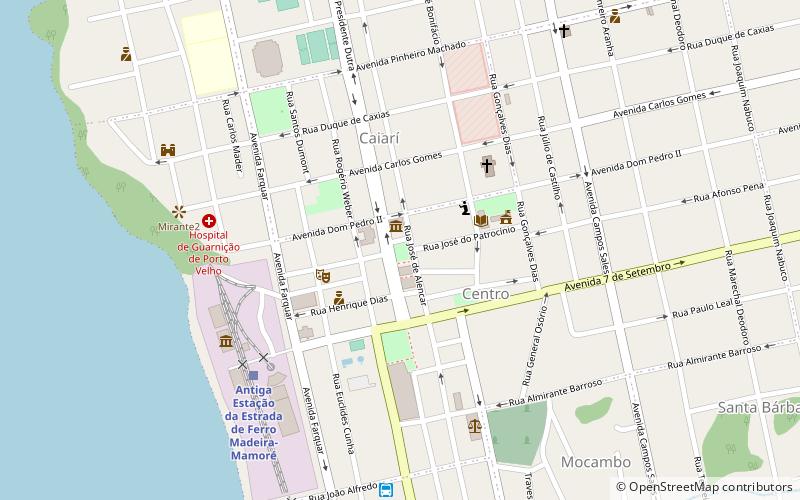
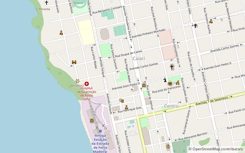
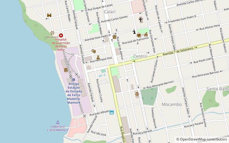
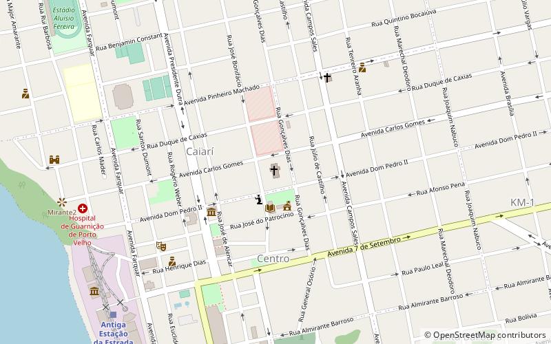
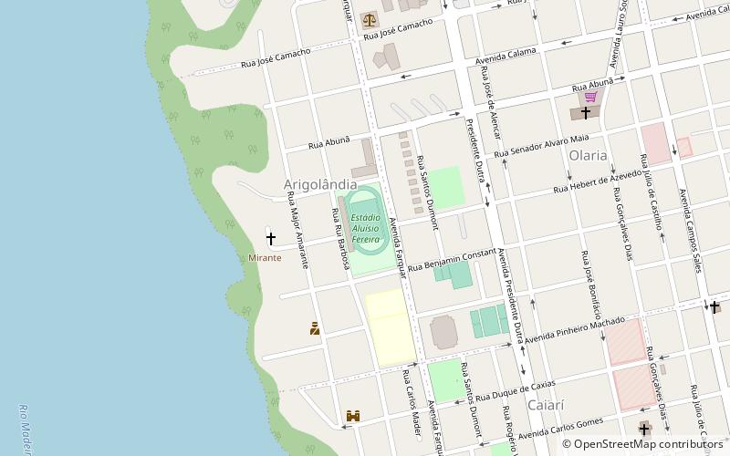
Map
Facts and practical information
Museu da Estrada de Ferro Madeira-Mamoré is a place located in Porto Velho (Rondônia state) and belongs to the category of museum.
It is situated at an altitude of 200 feet, and its geographical coordinates are 8°45'57"S latitude and 63°54'35"W longitude.
Among other places and attractions worth visiting in the area are: Praça Marechal Rondon (park, 7 min walk), Praça das Três Caixas D´Água (park, 7 min walk), Praça Getulio Vargas (park, 8 min walk).
Coordinates: 8°45'57"S, 63°54'35"W
Address
Porto Velho
ContactAdd
Social media
Add
Day trips
Museu da Estrada de Ferro Madeira-Mamoré – popular in the area (distance from the attraction)
Nearby attractions include: Praça Getulio Vargas, Praça das Três Caixas D´Água, Praça Marechal Rondon, Igreja Sagrado Coração de Jesus.
Frequently Asked Questions (FAQ)
Which popular attractions are close to Museu da Estrada de Ferro Madeira-Mamoré?
Nearby attractions include Praça Marechal Rondon, Porto Velho (7 min walk), Praça das Três Caixas D´Água, Porto Velho (7 min walk), Praça Getulio Vargas, Porto Velho (8 min walk), Igreja Sagrado Coração de Jesus, Porto Velho (12 min walk).