Antunes Beach, Maragogi
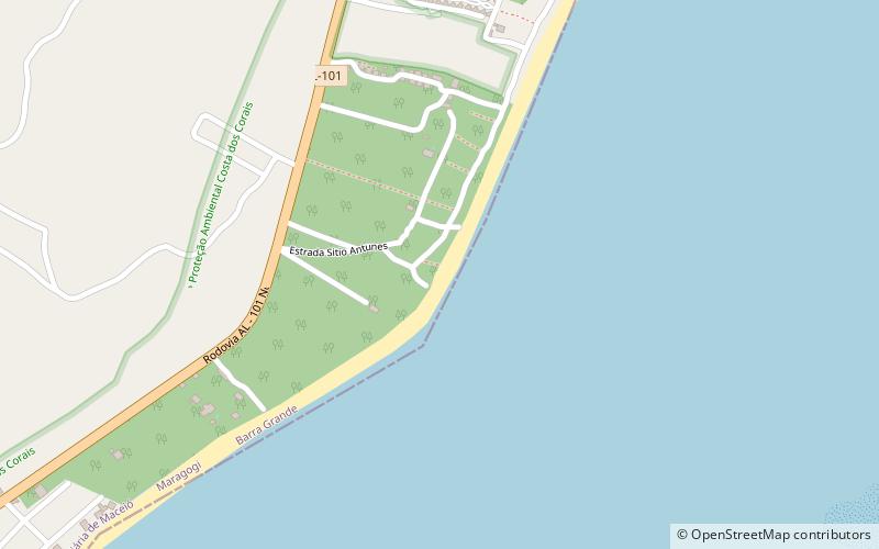
Map
Facts and practical information
Antunes Beach (address: Sítio dos Antunes) is a place located in Maragogi (Alagoas state) and belongs to the category of beach, outdoor activities, park.
It is situated at an altitude of 13 feet, and its geographical coordinates are 8°58'37"S latitude and 35°10'53"W longitude.
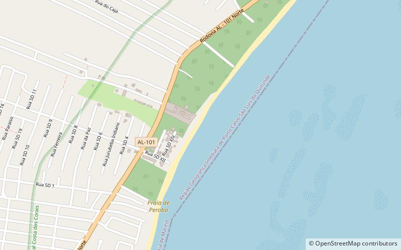
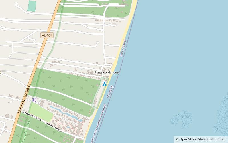
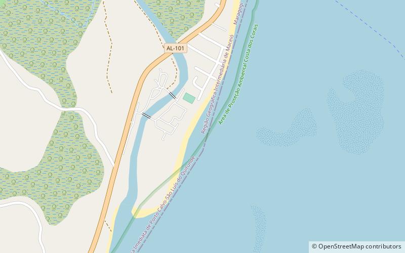
Among other places and attractions worth visiting in the area are: Praia Ponta do Mangue (beach, 39 min walk), Praia de Peroba (beach, 82 min walk), Camacho beach (beach, 119 min walk).
Elevation: 13 ft a.s.l.Coordinates: 8°58'37"S, 35°10'53"W
Address
Sítio dos AntunesMaragogi
Contact
+55 82 98731-9430
Social media
Add
Day trips

Frequently Asked Questions (FAQ)
When is Antunes Beach open?
Antunes Beach is open:
- Monday 8 am - 5 pm
- Tuesday 8 am - 5 pm
- Wednesday 8 am - 5 pm
- Thursday 8 am - 5 pm
- Friday 8 am - 5 pm
- Saturday 8 am - 5 pm
- Sunday 8 am - 5 pm