Trilha para Cachoeira da Velha, Jalapão State Park
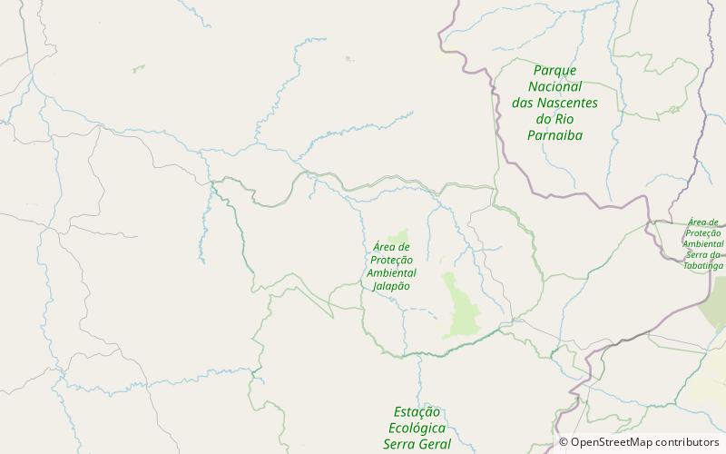
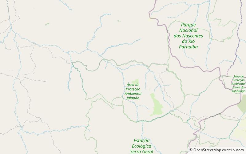
Map
Facts and practical information
Trilha para Cachoeira da Velha is a place located in Jalapão State Park (Tocantins state) and belongs to the category of bridge, natural attraction, park.
It is situated at an altitude of 1020 feet, and its geographical coordinates are 10°16'9"S latitude and 46°52'51"W longitude.
Among other places and attractions worth visiting in the area are: Praia do Rio Novo (beach, 16 min walk).
Elevation: 1020 ft a.s.l.Coordinates: 10°16'9"S, 46°52'51"W
Day trips
Trilha para Cachoeira da Velha – popular in the area (distance from the attraction)
Nearby attractions include: Praia do Rio Novo.