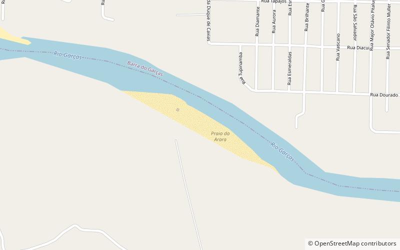
Praia da Arara, Barra do Garças
Map
Facts and practical information
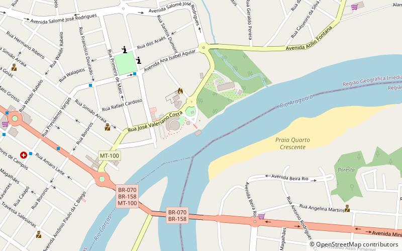
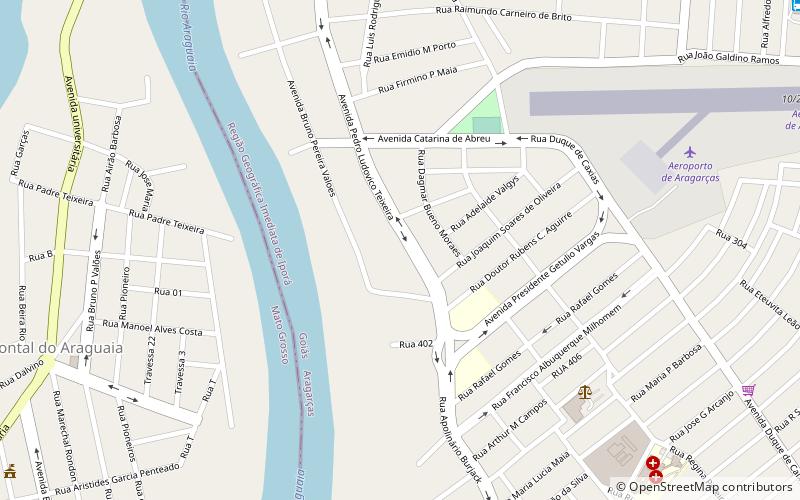
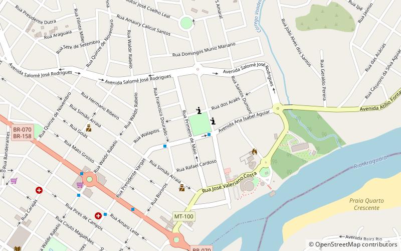
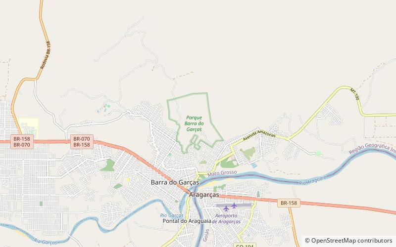
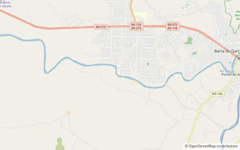
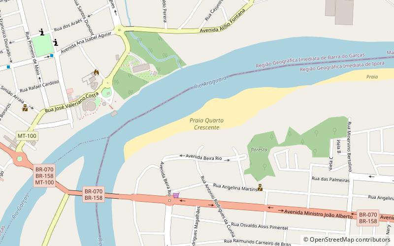
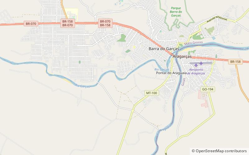
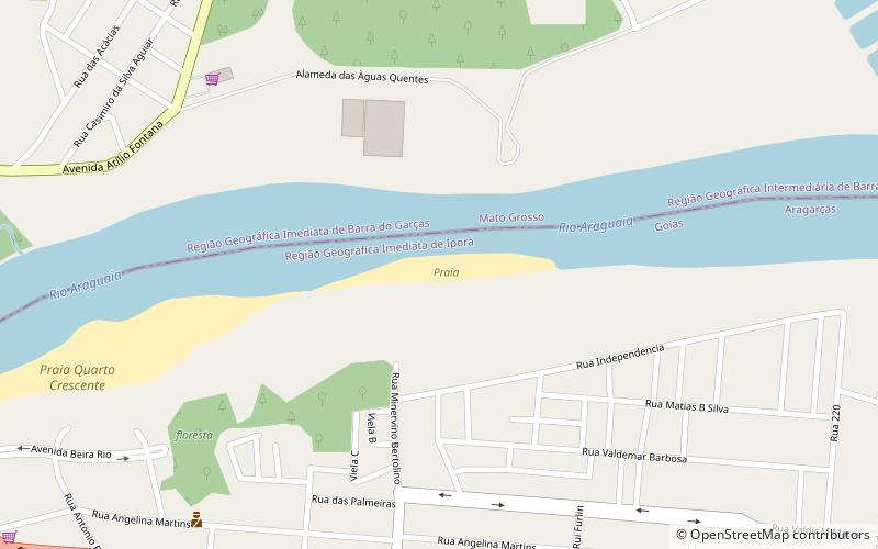
Praia da Arara is a place located in Barra do Garças (Mato Grosso state) and belongs to the category of beach, nature and wildlife, outdoor activities.
It is situated at an altitude of 968 feet, and its geographical coordinates are 15°54'32"S latitude and 52°18'53"W longitude.
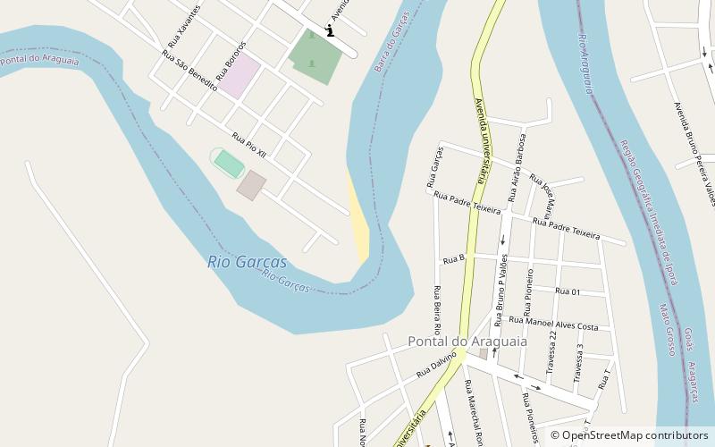
Among other places and attractions worth visiting in the area are: Praia do Bosque (beach, 18 min walk), Praia do Zeca Ribeiro (beach, 54 min walk), Praia da Rapadura (beach, 94 min walk).
Elevation: 968 ft a.s.l.Coordinates: 15°54'32"S, 52°18'53"W
Address
Barra do Garças
ContactAdd
Social media
Add
Day trips