Forte Duque de Caxias, Rio de Janeiro
Map
Map

Facts and practical information
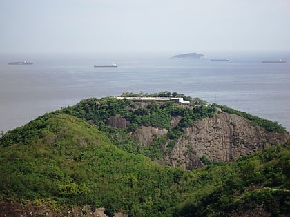
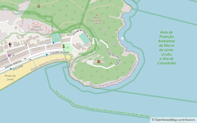
Fort Duque de Caxias, formerly known as Forte da Vigia, Forte da Espia and Forte do Leme, is located in the neighborhood of Leme, in the city of Rio de Janeiro, in the state of the same name, in Brazil. It is located on the summit of Morro do Leme.
Coordinates: 22°57'48"S, 43°9'44"W
Address
Praca Almirante Julio de NoronhaCopacabana (Leme)Rio de Janeiro 22010-020
Contact
+55 21 3223-5076
Social media
Add
Day trips
Forte Duque de Caxias – popular in the area (distance from the attraction)
Nearby attractions include: Sugarloaf Mountain, Earth Sciences Museum, Morro da Urca, Rio Sul.
Frequently Asked Questions (FAQ)
When is Forte Duque de Caxias open?
Forte Duque de Caxias is open:
- Monday closed
- Tuesday 9:30 am - 4:30 pm
- Wednesday 9:30 am - 4:30 pm
- Thursday 9:30 am - 4:30 pm
- Friday 9:30 am - 4:30 pm
- Saturday 9:30 am - 4:30 pm
- Sunday 9:30 am - 4:30 pm
Which popular attractions are close to Forte Duque de Caxias?
Nearby attractions include Morro da Babilônia, Rio de Janeiro (15 min walk), Vermelha Beach, Rio de Janeiro (16 min walk), Sugarloaf Cable Car, Rio de Janeiro (16 min walk), Earth Sciences Museum, Rio de Janeiro (21 min walk).
How to get to Forte Duque de Caxias by public transport?
The nearest stations to Forte Duque de Caxias:
Aerialway
Bus
Aerialway
- Praia Vermelha • Lines: Teleférico do Pão de Açúcar (16 min walk)
- Morro da Urca • Lines: Teleférico do Pão de Açúcar (22 min walk)
Bus
- BRS 2 Belford Roxo • Lines: Brs 2, BRS Copacabana (22 min walk)
- Shopping Rio Sul • Lines: Riosul-Cav (27 min walk)
