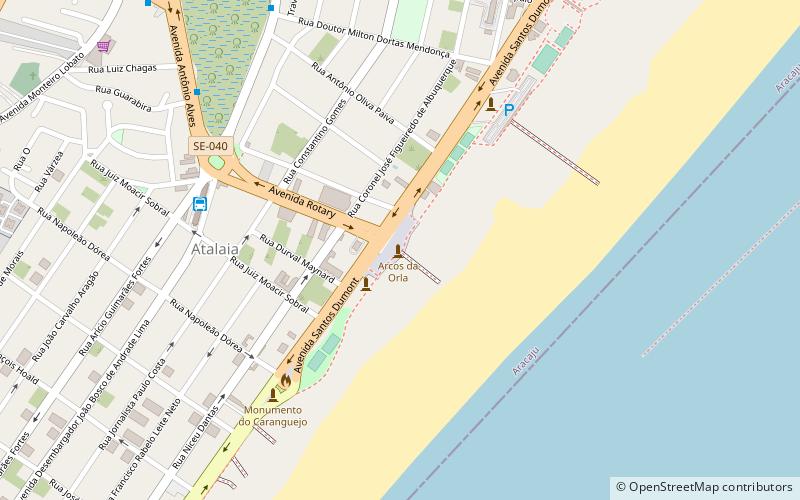
Arcos da Orla de Atalaia, Aracaju
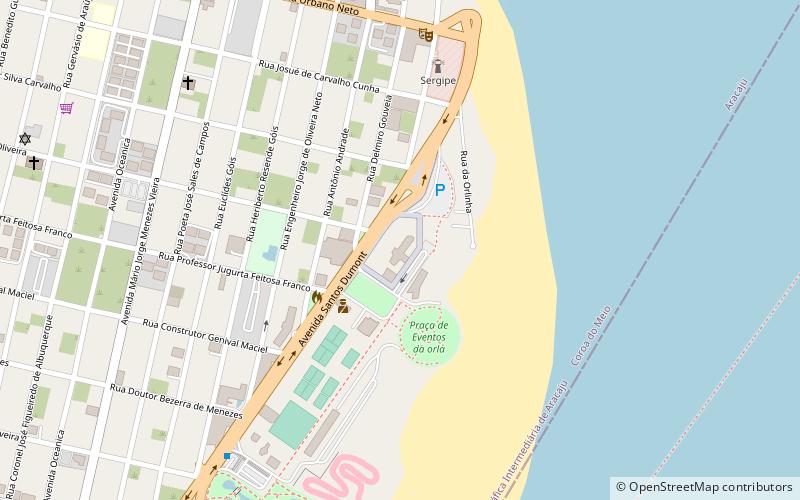
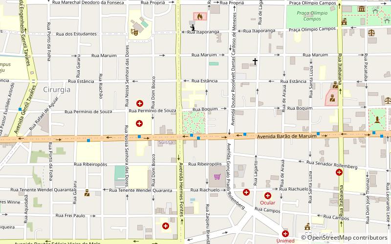
Map
Facts and practical information
Arcos da Orla de Atalaia is a place located in Aracaju (Sergipe state) and belongs to the category of sightseeing.
It is situated at an altitude of 16 feet, and its geographical coordinates are 10°59'20"S latitude and 37°2'53"W longitude.
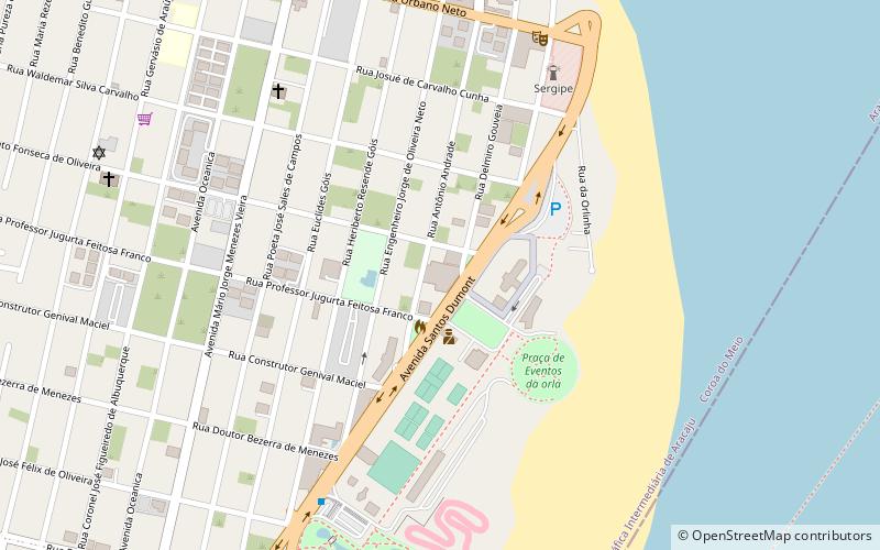
Planning a visit to this place, one can easily and conveniently get there by public transportation. Arcos da Orla de Atalaia is a short distance from the following public transport stations: Terminal Zona Sul (bus, 8 min walk).
Among other places and attractions worth visiting in the area are: Feira do Turista (shopping, 32 min walk), Centro de Cultura e Arte J. Inácio (art gallery, 34 min walk), Praça da Imprensa (park, 105 min walk).
Coordinates: 10°59'20"S, 37°2'53"W
Address
Aracaju
ContactAdd
Social media
Add
Getting there by public transportation
Public transportation stops near this location
- Bus
 Bus
Bus
- Calculate routeTerminal Zona Sul 8 min walk
Day trips

Frequently Asked Questions (FAQ)
How to get to Arcos da Orla de Atalaia by public transport?
The nearest stations to Arcos da Orla de Atalaia:
Bus
Bus
- Terminal Zona Sul (8 min walk)