Carrão, São Paulo
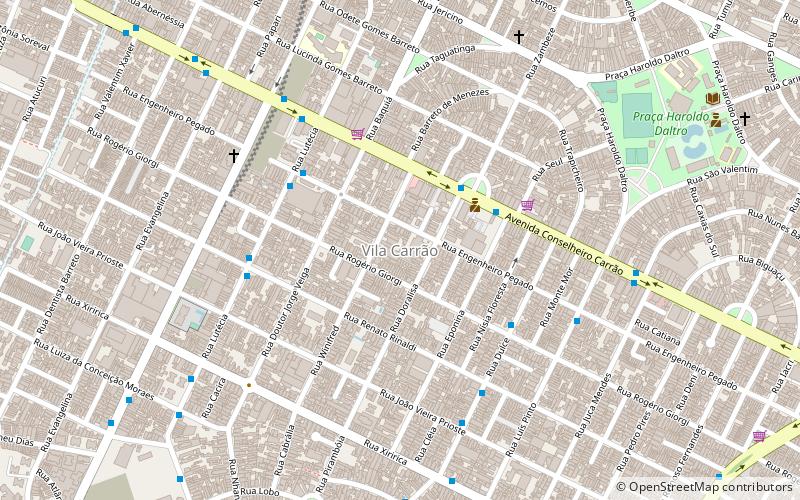
Map
Facts and practical information
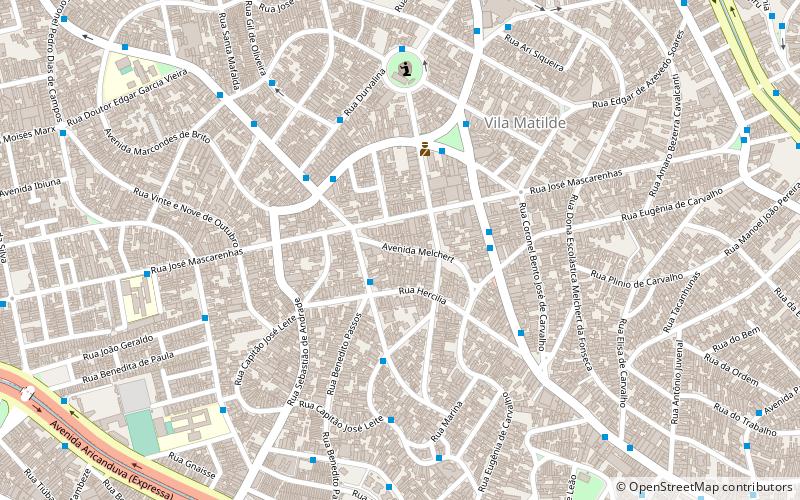
Carrão is an administrative district of the São Paulo, with 75,000 residents as of 2005. It belongs to the Aricanduva sub-prefecture. ()
Address
Aricanduva - Formosa - Carrão (Carrão)São Paulo
ContactAdd
Social media
Add
Day trips
Carrão – popular in the area (distance from the attraction)
Nearby attractions include: Estádio Alfredo Schürig, Shopping Leste Aricanduva, Shopping Metrô Tatuapé, Shopping Anália Franco.
Frequently Asked Questions (FAQ)
How to get to Carrão by public transport?
The nearest stations to Carrão:
Trolleybus
Bus
Metro
Trolleybus
- Avenida Conselheiro Carrão • Lines: 2290-10, 2290-21, 342M-10 (4 min walk)
- Stop • Lines: 2290-10, 2290-21, 342M-10 (7 min walk)
Bus
- Rua Eng. Pegado, 521 • Lines: 3029-10 (5 min walk)
- Rua Lutécia • Lines: 3029-10 (6 min walk)
Metro
- Penha • Lines: 3 (30 min walk)
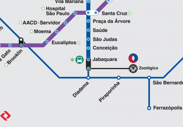 Metro / Suburban rail
