Cantagalo–Pavão–Pavãozinho, Rio de Janeiro
Map
Map

Facts and practical information
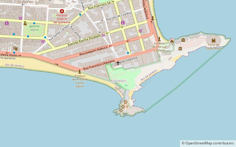
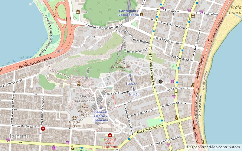
Cantagalo–Pavão–Pavãozinho is a bairro, a grouping of two favelas in the South Zone of Rio de Janeiro, Brazil, located between the bairros of Ipanema and Copacabana. As of 2010, it has circa 9,500 inhabitants. ()
Address
CopacabanaRio de Janeiro
ContactAdd
Social media
Add
Day trips
Cantagalo–Pavão–Pavãozinho – popular in the area (distance from the attraction)
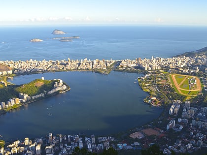
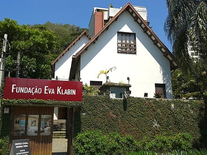
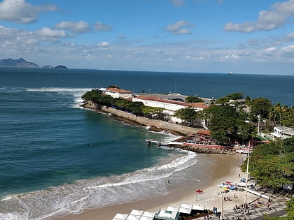
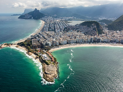
Nearby attractions include: Rodrigo de Freitas Lagoon, Eva Klabin House Museum, Fort Copacabana, Copacabana Beach.
Frequently Asked Questions (FAQ)
Which popular attractions are close to Cantagalo–Pavão–Pavãozinho?
Nearby attractions include Eva Klabin House Museum, Rio de Janeiro (9 min walk), General Osório Square, Rio de Janeiro (10 min walk), South Zone, Rio de Janeiro (13 min walk), Ipanema, Rio de Janeiro (14 min walk).
How to get to Cantagalo–Pavão–Pavãozinho by public transport?
The nearest stations to Cantagalo–Pavão–Pavãozinho:
Metro
Bus
Metro
- General Osório • Lines: 1, 4 (5 min walk)
- Cantagalo • Lines: 1 (8 min walk)
Bus
- BRS 1 Sá Ferreira • Lines: Brs 1, BRS Copacabana (7 min walk)
- BRS 2 Djalma Ulrich • Lines: Brs 2, BRS Copacabana (7 min walk)

