Ponte Dom Pedro II, Cachoeira
Map
Map

Facts and practical information
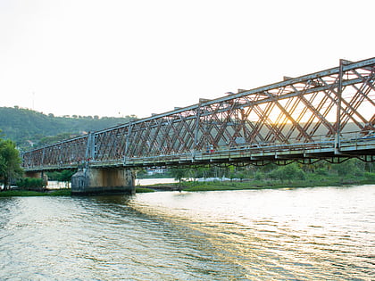
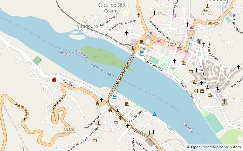
Dom Pedro II Bridge is a bridge between Cachoeira and São Félix, Bahia, Brazil. It crosses the Paraguaçu River and serves as an automotive, rail, and pedestrian bridge. The bridge was inaugurated on July 7, 1885, was one of the main engineering works in South America at the time. It is composed of iron and wood ballast imported from England and measures 365.64 metres long and 9 metres wide with spans of 9.41 metres. ()
Coordinates: 12°36'15"S, 38°58'8"W
Address
Cachoeira
ContactAdd
Social media
Add
Day trips
Ponte Dom Pedro II – popular in the area (distance from the attraction)
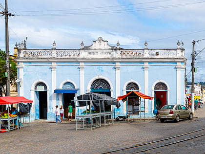
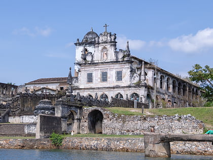
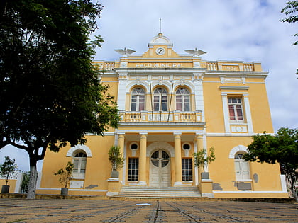
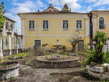
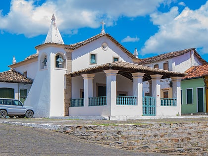
Nearby attractions include: Municipal Market of São Félix, Convent and Church of Saint Antony, Terreiro Loba Nekun Filho, Town Hall of São Félix.
Frequently Asked Questions (FAQ)
Which popular attractions are close to Ponte Dom Pedro II?
Nearby attractions include Municipal Market of São Félix, Cachoeira (4 min walk), Town Hall of São Félix, Cachoeira (5 min walk), Terreiro Loba Nekun Filho, Cachoeira (6 min walk), Chapel of Our Lady of Help, Cachoeira (10 min walk).
How to get to Ponte Dom Pedro II by public transport?
The nearest stations to Ponte Dom Pedro II:
Bus
Bus
- Rodoviária de São Félix (3 min walk)
- Terminal Rodoviário-Cachoeira (4 min walk)
