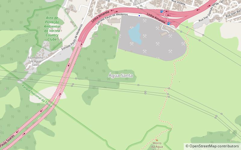
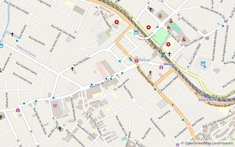
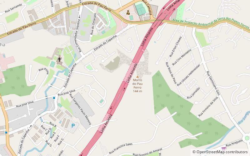
Água Santa, Rio de Janeiro
Map
Facts and practical information
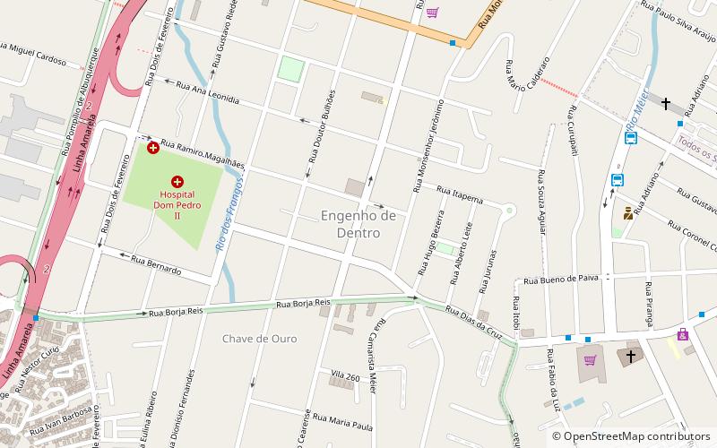
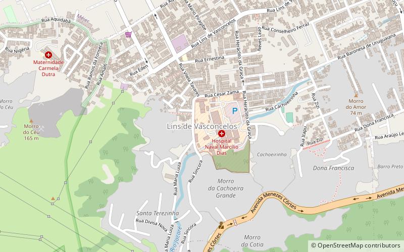
Água Santa is a neighborhood in the North Zone of Rio de Janeiro, Brazil. The neighborhood is bordered by Jacarepaguá, Piedade, Encantado, Engenho de Dentro and the Dos Pretos-Forros Ridge. The Ary Franco Prison is located in the neighborhood. ()
Address
Méier (Água Santa)Rio de Janeiro
ContactAdd
Social media
Add
Getting there by public transportation
Public transportation stops near this location
- Bus
- Train
 Bus
Bus
- Calculate route606 - Engenho de Dentro x Rodoviária 40 min walk
- Calculate routeOlímpica de Engenho de Dentro 41 min walk
Day trips


Frequently Asked Questions (FAQ)
How to get to Água Santa by public transport?
The nearest stations to Água Santa:
Bus
Train
Bus
- 606 - Engenho de Dentro x Rodoviária (40 min walk)
Train
- Olímpica de Engenho de Dentro (41 min walk)