Vila Maria, São Paulo

Map
Facts and practical information
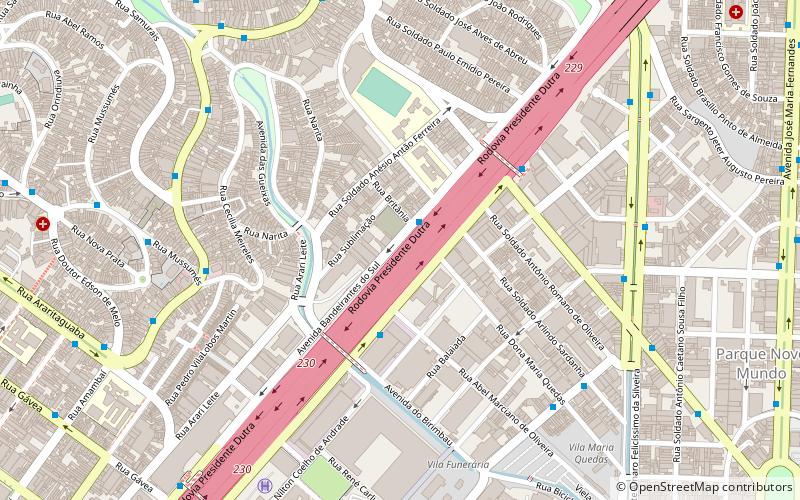
Vila Maria is a district located in the northern region of the city of São Paulo. A good part of the economy of the district comes from activities related to logistics and transportation of cargoes due to the large number of companies in the industry located in the region. The neighborhood is also famous for the samba school of the Unidos da Vila Maria. ()
Address
Vila Maria-Vila Guilherme (Vila Maria)São Paulo
ContactAdd
Social media
Add
Day trips
Vila Maria – popular in the area (distance from the attraction)
Nearby attractions include: Estádio do Canindé, Estádio Alfredo Schürig, Shopping D, Shopping Metrô Tatuapé.
Frequently Asked Questions (FAQ)
How to get to Vila Maria by public transport?
The nearest stations to Vila Maria:
Bus
Bus
- Rodovia Presidente Dutra • Lines: 213E-10, 427 (2 min walk)
- Parada Novo Mundo III • Lines: 016, 213E-10, 427 (4 min walk)
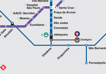
 Metro / Suburban rail


