Poço da Panela, Recife
Map
Facts and practical information
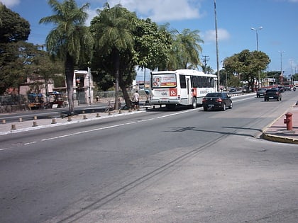
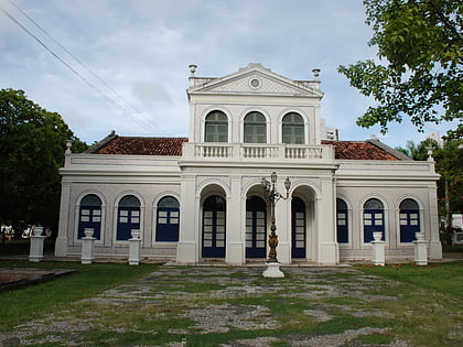
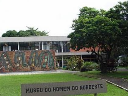
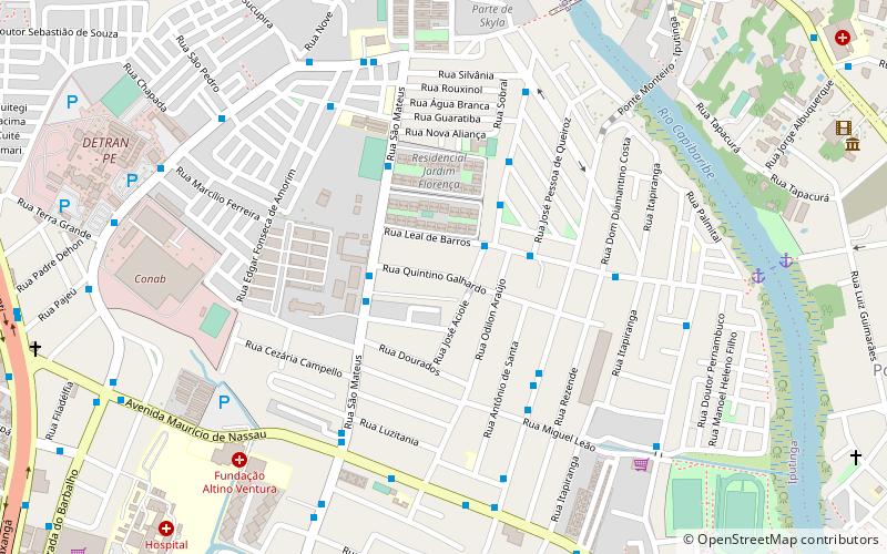
Poço da Panela is a neighborhood of Recife, Brazil located in the north of the city. It has a land area of 87 hectares, a resident population of 4,006 people and an annual geometric growth rate of 0.45. Adjoining neighborhoods are 'Casa Forte', 'Santana' and 'Monteiro', and it runs along the Capibaribe River. The majority of its residents are upper-middle class, although there are also residents of lower middle class and upper class. ()
Address
RPA4 (Iputinga)Recife
ContactAdd
Social media
Add
Day trips
Poço da Panela – popular in the area (distance from the attraction)
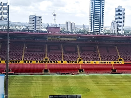
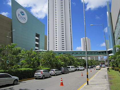
Nearby attractions include: Caxangá, Estádio Ilha do Retiro, Shopping Boa Vista, Plaza Casa Forte.
Frequently Asked Questions (FAQ)
How to get to Poço da Panela by public transport?
The nearest stations to Poço da Panela:
Bus
Bus
- Praça do Monteiro • Lines: 520 (14 min walk)
- Estação Bom Pastor (16 min walk)
