Irajá, Rio de Janeiro
Map
Facts and practical information
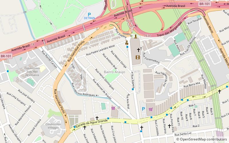
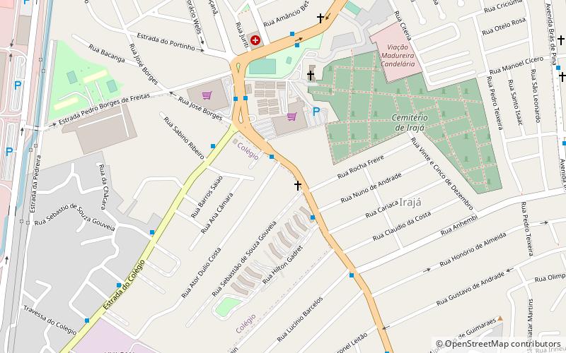
Irajá is a neighborhood of middle class and lower middle in the North Zone of Rio de Janeiro, Brazil. The neighborhood is divided by Brazil Avenue. Today it is a neighborhood of medium size, with a little more than 100,000 inhabitants. ()
Address
Irajá (Colégio)Rio de Janeiro
ContactAdd
Social media
Add
Day trips
Irajá – popular in the area (distance from the attraction)
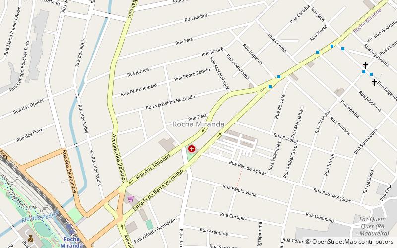
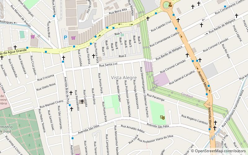
Nearby attractions include: Rocha Miranda, Vila da Penha, Vista Alegre, Pavuna.
Frequently Asked Questions (FAQ)
Which popular attractions are close to Irajá?
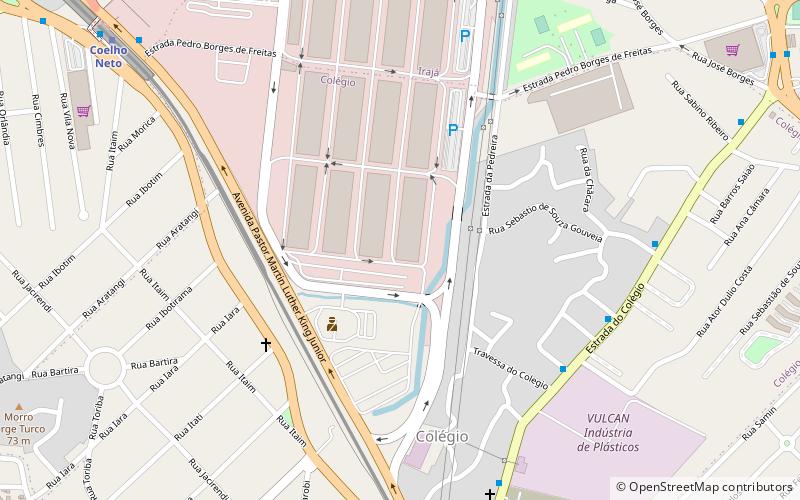
Nearby attractions include Colégio, Rio de Janeiro (16 min walk), Bairro Araújo, Rio de Janeiro (20 min walk), Vista Alegre, Rio de Janeiro (22 min walk).
How to get to Irajá by public transport?
The nearest stations to Irajá:
Metro
Metro
- Colégio • Lines: 2 (19 min walk)
- Irajá • Lines: 2 (25 min walk)
