Ponta Negra, Natal
Map

Map

Facts and practical information
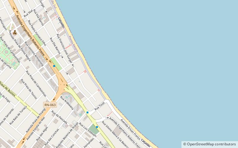
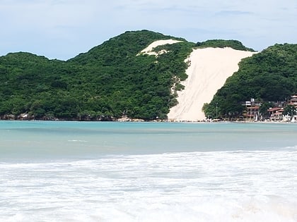
Ponta Negra is a beach and neighborhood located in the Brazilian city of Natal, the capital of the state of Rio Grande do Norte. Located in the extreme south of the beach is the Morro do Careca, a large dune and a landmark of the city. Located in the extreme north of the beach is the Via Costeira, a coastal road that connects Ponta Negra with several other beaches of the city, such as Areia Preta and Praia dos Artistas. ()
Address
Natal
ContactAdd
Social media
Add
Day trips
Ponta Negra – popular in the area (distance from the attraction)
Nearby attractions include: Praia Shopping, Morro do Careca, Frasqueirão, Centro de Convenções de Natal.
Frequently Asked Questions (FAQ)
How to get to Ponta Negra by public transport?
The nearest stations to Ponta Negra:
Bus
Bus
- Terminal Ponta Negra (18 min walk)
- Praia Shopping • Lines: 83, L-54, S-46 (29 min walk)


