Belasitsa Nature Park

Gallery (2)
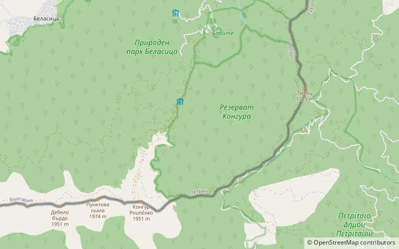
Map
Map
Gallery
Facts and practical information
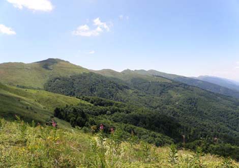
Belasitsa Nature Park covers the northern slopes of Belasitsa Mountain in the Southwest Region of Bulgaria. The total area of the park is 117 km². Belasitsa is part of the European ecological network NATURA 2000 and is managed by the Belasitsa Nature Park Directorate which is a legal entity under the authority of the Executive Forest Agency of Ministry of Agriculture and Food. The Directorate office is located in the village of Kolarovo. ()
Local name: БеласицаEstablished: 2007 (19 years ago)Elevation: 3688 ft a.s.l.Coordinates: 41°20'28"N, 23°11'42"E
Day trips

