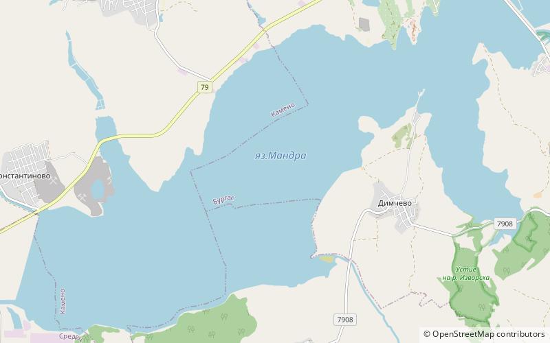
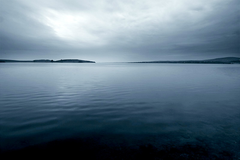
Lake Mandrensko

Gallery (2)
Map
Map
Gallery
Facts and practical information
Lake Mandrensko or Lake Mandra is the southernmost of the Burgas Lakes, located in the immediate proximity of the Black Sea and close to Burgas. Being 8 km long and 1.3 km wide at maximum, as well as having an area of 38.84 km², it was a brackish natural lake until 1963, when it was turned into a reservoir with the construction of a dam to secure fresh water for the large Neftochim Burgas oil refinery. The rivers Izvorska, Fakiyska, Sredetska and Rusokastrenska flow into the lake. ()
Local name: Мандра Built: 1963 (63 years ago)Length: 4.97 miWidth: 4265 ftElevation: 7 ft a.s.l.Coordinates: 42°24'38"N, 27°22'43"E
Location
Burgas
ContactAdd
Social media
Add
Day trips