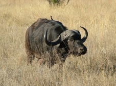
Deux Balés National Park
Map
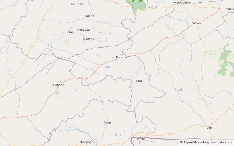
Map

Facts and practical information
Deux Balés National Park is a national park located in central eastern Burkina Faso. It is within Mouhoun Province just west of the Black Volta River and at an elevation of 235-310m. ()
Local name: Parc national des Deux Balés Established: 1937 (89 years ago)Area: 218.53 mi²Elevation: 899 ft a.s.l.Coordinates: 11°36'3"N, 2°58'16"W
Location
Boucle du Mouhoun
ContactAdd
Social media
Add
Best Ways to Experience the Park
Wildlife
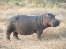
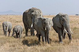
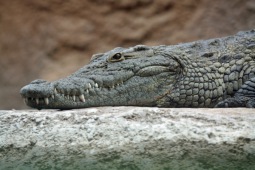
AnimalsSee what popular animal species you can meet in this location.
More
