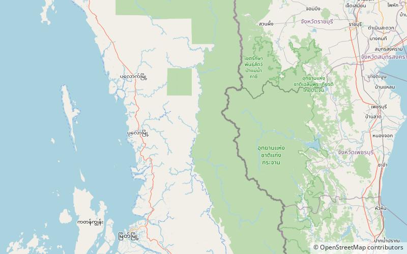
Bilauktaung, Tanintharyi National Park

Map
Facts and practical information
Bilauktaung is a subrange of the Tenasserim Hills. It is located in Burma on the border with Thailand. It extends from the Dawna Range for about 400 km along the frontier area to the Kra Isthmus. ()
Maximum elevation: 6798 ftCoordinates: 13°0'0"N, 99°0'0"E
Address
Tanintharyi National Park
ContactAdd
Social media
Add