Arakan Mountains, Natmataung National Park

Gallery (1)
Map
Map
Facts and practical information
The Arakan Mountains, also known as the Rakhine Mountains, are a mountain range in western Myanmar, between the coast of Rakhine State and the Central Myanmar Basin, in which flows the Irrawaddy River. It is the most prominent of a series of parallel ridges that arc through Assam, Nagaland, Manipur, Mizoram and Myanmar. ()
Address
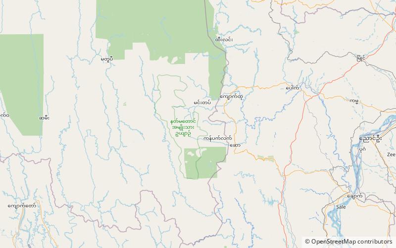
Natmataung National Park
ContactAdd
Social media
Add
Day trips
Arakan Mountains – popular in the area (distance from the attraction)
Nearby attractions include: Nat Ma Taung.
