Kyimyindaing Township, Yangon
Map

Map

Facts and practical information
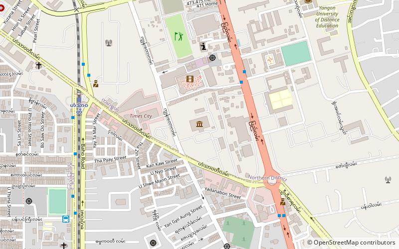
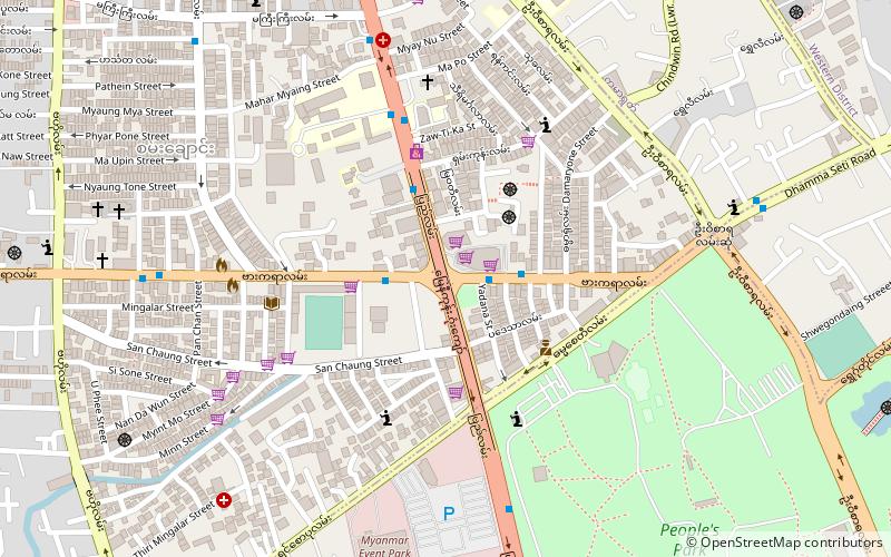
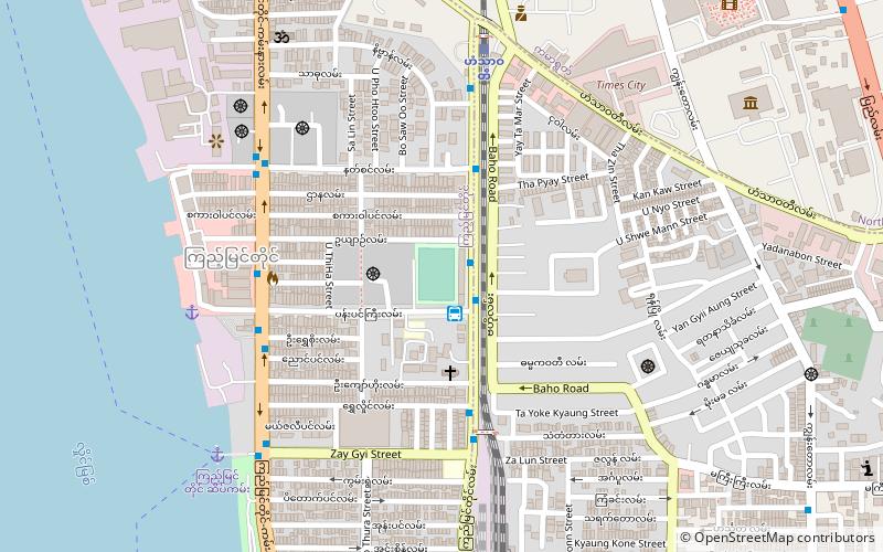
Kyimyindaing Township is located in the western part of Yangon, and shares borders with Kamayut Township in the north, the Yangon River and Twante Township in the west, Sanchaung Township in the east, and Ahlon Township in the south. It consists of 21 wards. ()
Address
Western District (Kyimyindaing)Yangon
ContactAdd
Social media
Add
Day trips
Kyimyindaing Township – popular in the area (distance from the attraction)
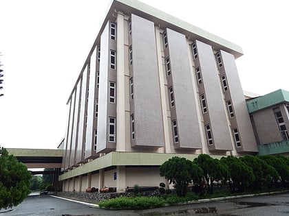
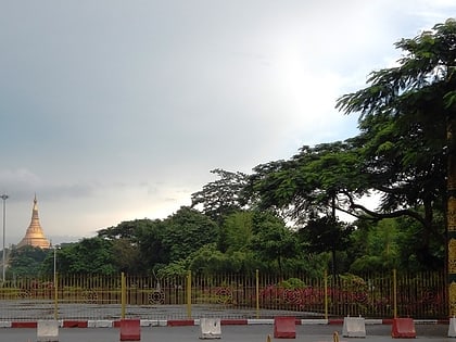
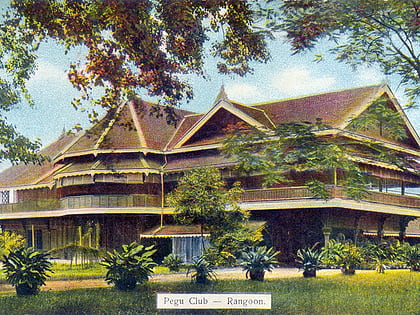
Nearby attractions include: Drug Elimination Museum, National Museum of Myanmar, People's Square and Park, Pegu Club.
Frequently Asked Questions (FAQ)
How to get to Kyimyindaing Township by public transport?
The nearest stations to Kyimyindaing Township:
Bus
Ferry
Bus
- Kyaung Shae • Lines: 20, 85 (2 min walk)
- Kyee Myin Ding SarTite • Lines: 14, 19, 20, 23, 23 Dagon Ayar Highway, 30, 40, 85, 89, 90 (4 min walk)
Ferry
- Kyee Myin Daing Terminal • Lines: Insein, ဖယ်ရီ လမ်းကြောင်း (12 min walk)

