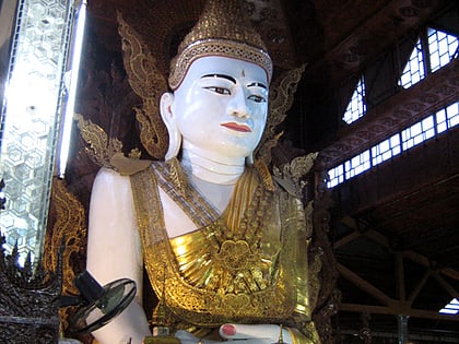
Thaketa Township, Yangon

Map
Facts and practical information
Thaketa Township is located in the eastern part of Yangon, Myanmar. The township comprises 19 wards, and shares borders with Thingangyun Township in the north and west, the Bago River in the east, and Dawbon Township in the south. The Pazundaung Creek flows through the township. Founded in 1959, Thaketa is made up largely of middle-class and working-class neighborhoods. ()
Local name: သာကေတမြို့နယ်Settled: 1959Area: 5.02 mi²Coordinates: 16°47'40"N, 96°12'6"E
Address
Southern District (Thaketa)Yangon
ContactAdd
Social media
Add
Day trips
Thaketa Township – popular in the area (distance from the attraction)
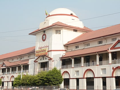
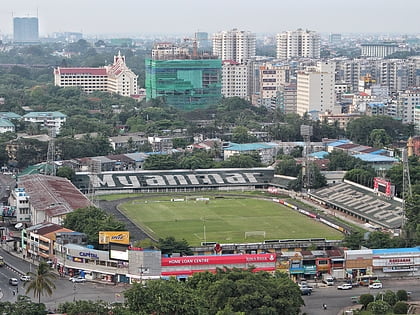
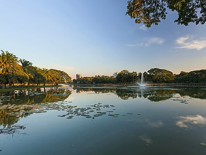
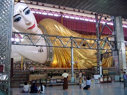
Nearby attractions include: Bogyoke Market, Bogyoke Aung San Stadium, Kandawgyi Lake, Thuwunna Stadium.
Frequently Asked Questions (FAQ)
How to get to Thaketa Township by public transport?
The nearest stations to Thaketa Township:
Bus
Bus
- Htuu Par Yone • Lines: 10, 100, 72, 84 (2 min walk)
- Yote Shin Yone • Lines: 10, 100, 34, 70, 72, 8, 80, 84 (4 min walk)
