Popa Mountain National Park

Map
Facts and practical information
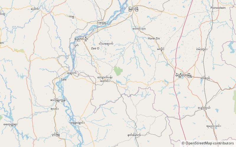
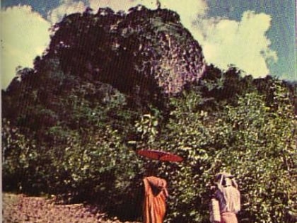
Popa Mountain National Park is a national park in Myanmar covering 128.54 km2. It was established in 1989. In elevation, it ranges from 285 to 1,490 m surrounding Mount Popa in Kyaukpadaung Township, Mandalay Region. ()
Local name: ပုပ္ပါးတောင် အမျိုးသားဥယျာဉ် Established: 1989 (37 years ago)Elevation: 1965 ft a.s.l.Coordinates: 20°53'18"N, 95°14'52"E
Location
Mandalay
ContactAdd
Social media
Add
Day trips
Popa Mountain National Park – popular in the area (distance from the attraction)
Nearby attractions include: Taung Kalat, Pegu Range.

