Bo Aung Kyaw Street, Yangon
Map
Map

Facts and practical information
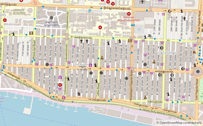
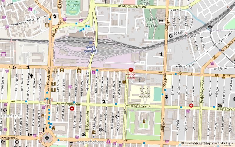
Bo Aung Kyaw Street or Road, formerly Sparks Street is a major street, passing south–north through Kyauktada Township and Botataung Township in southern Yangon, Burma. The street begins at an intersection near the Yangon River with Strand Road at 16°46′9″N 96°9′51″E, passes north and crosses Maha Bandula Road and Anawrahta Road before eventually joining Bogyoke Aung San Road at 16°46′44″N 96°9′52″E. ()
Address
Downtown (Kyauktada)Yangon
ContactAdd
Social media
Add
Day trips
Bo Aung Kyaw Street – popular in the area (distance from the attraction)
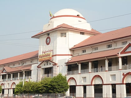
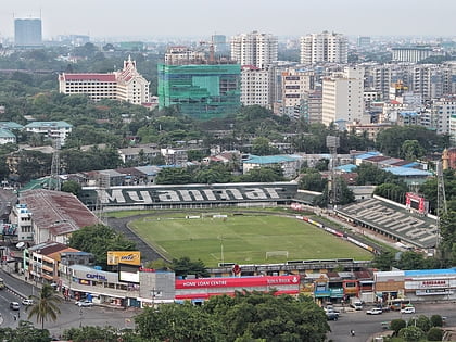
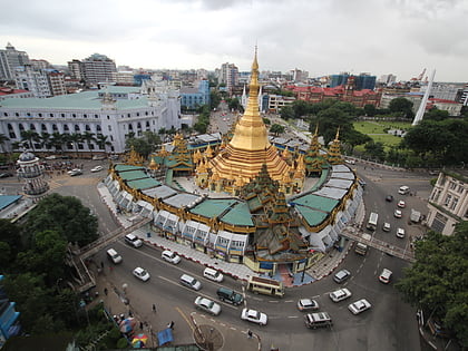
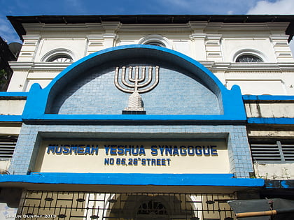
Nearby attractions include: Bogyoke Market, Bogyoke Aung San Stadium, Sule Pagoda, Musmeah Yeshua Synagogue.
Frequently Asked Questions (FAQ)
Which popular attractions are close to Bo Aung Kyaw Street?
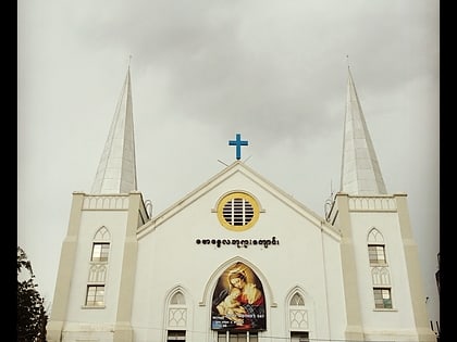
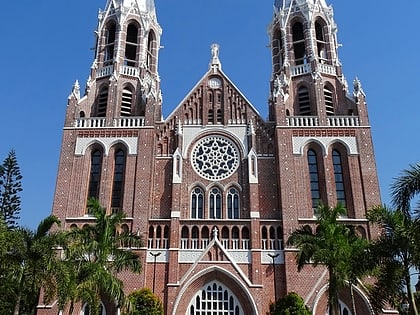
Nearby attractions include St. Mary's Cathedral, Yangon (3 min walk), Ministers' Building, Yangon (8 min walk), Yangon City Hall, Yangon (10 min walk), Central Telegraph Office, Yangon (10 min walk).
How to get to Bo Aung Kyaw Street by public transport?
The nearest stations to Bo Aung Kyaw Street:
Bus
Ferry
Bus
- Pansoedan • Lines: 4, 56, 58, 7, 7 Ngamoeyeik, 7 South Dagon Kyisu, 93 (4 min walk)
- Saint Paul • Lines: 25, 29, 3, 43, 64 Khaymarthi, 64 Thudamar, 7, 7 Ngamoeyeik, 7 South Dagon Kyisu (7 min walk)
Ferry
- Nan Thida Ferry Station • Lines: Dala (20 min walk)
- Nan Thida Terminal • Lines: Insein, ဖယ်ရီ လမ်းကြောင်း (21 min walk)

