Maha Bandula Road, Yangon
Map
Map

Facts and practical information
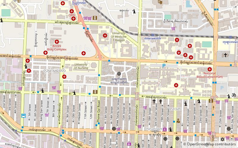
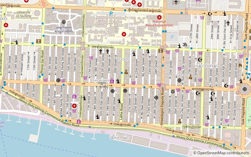
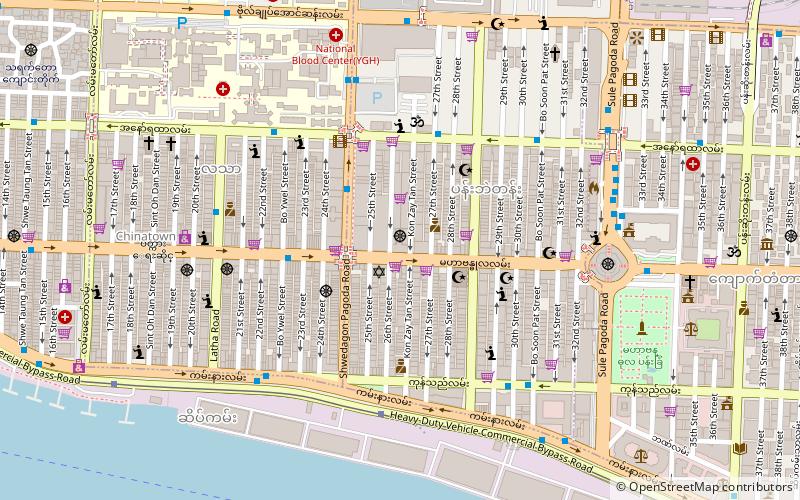
Maha Bandula Road is a major road of southern Yangon, Burma. It is named in honored of The great King Maha Bandula. It crosses the city in a west–east direction and runs parallel to Bogyoke Aung San Road. It runs past Maha Bandula Park and eventually to Maha Bandula Bridge. ()
Address
Downtown (Pabedan)Yangon
ContactAdd
Social media
Add
Day trips
Maha Bandula Road – popular in the area (distance from the attraction)
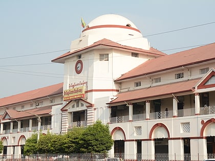
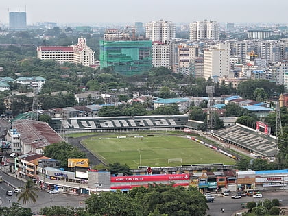
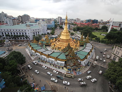
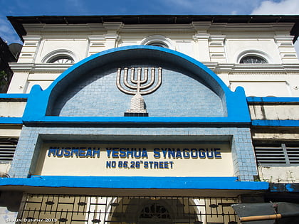
Nearby attractions include: Bogyoke Market, Bogyoke Aung San Stadium, Sule Pagoda, Musmeah Yeshua Synagogue.
Frequently Asked Questions (FAQ)
Which popular attractions are close to Maha Bandula Road?
Nearby attractions include Musmeah Yeshua Synagogue, Yangon (2 min walk), Shri Kali Temple, Yangon (5 min walk), Long Shan Tang Temple, Yangon (7 min walk), Yangon Chinatown, Yangon (7 min walk).
How to get to Maha Bandula Road by public transport?
The nearest stations to Maha Bandula Road:
Bus
Ferry
Bus
- Thein Gyee Zayy • Lines: 39, 57, 89 (1 min walk)
- Thein Gyee Zayy Bus Stop • Lines: 11 (3 min walk)
Ferry
- Nan Thida Ferry Station • Lines: Dala (17 min walk)
- Nan Thida Terminal • Lines: Insein, ဖယ်ရီ လမ်းကြောင်း (18 min walk)

