Ottarathiri Township, Naypyidaw
Map
Facts and practical information
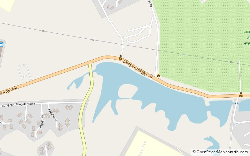
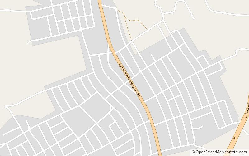
Ottarathiri Township is one of Naypyidaw Union Territory's eight townships, located south of Mandalay Region in Burma. ()
Address
Naypyidaw
ContactAdd
Social media
Add
Day trips
Ottarathiri Township is one of Naypyidaw Union Territory's eight townships, located south of Mandalay Region in Burma. ()
Naypyidaw
Where to next? Visit ![]() Mandalay region page or discover the top tourist attractions in Myanmar (Burma).
Mandalay region page or discover the top tourist attractions in Myanmar (Burma).