Thayet Travel Guide
| Due to the unstable situation and very high level of general risk, traveling to Myanmar (Burma) may be dangerous. Read more |
Facts and practical information
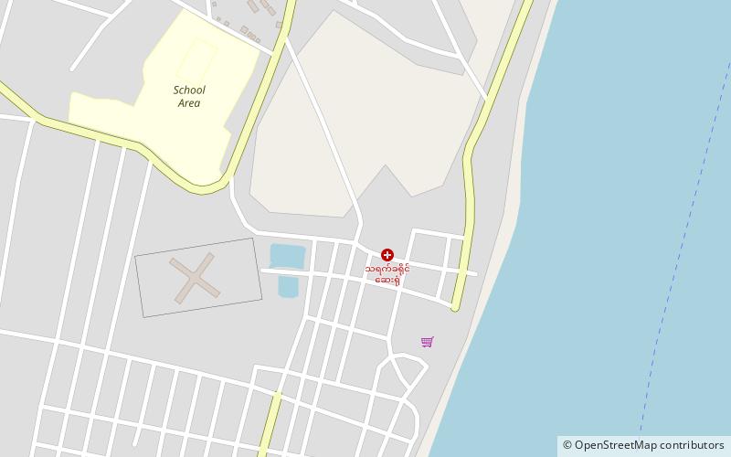
Thayet is a charming city located in the Magway Region of Myanmar, boasting a rich history and unique cultural heritage. The city is known for its stunning colonial architecture, with many buildings dating back to the British colonial era. As you wander through the streets of Thayet, you'll be transported back in time as you admire the elegant facades and intricate details of these historic structures.
One of the must-see attractions in Thayet is the beautiful Ayeyarwady River, which flows gracefully through the city. Take a leisurely boat ride along the river and soak in the serene atmosphere while enjoying picturesque views of the surrounding landscape. The river also provides the perfect setting for a relaxing sunset cruise, allowing you to witness the sky ablaze with vibrant colors as the sun dips below the horizon.
For those interested in delving into Thayet's past, a visit to the Thayet Prison Museum is a must. This historic site offers a fascinating glimpse into the city's colonial history and the role it played during the tumultuous times of the British rule. The museum provides insight into the lives of both prisoners and guards, shedding light on the harsh conditions and the struggles faced within the prison walls.
Nature enthusiasts will also find plenty to love in Thayet, as the city is surrounded by lush, verdant landscapes waiting to be explored. Take a day trip to the nearby forests and nature reserves, where you can embark on scenic hikes, birdwatching excursions, and wildlife spotting adventures. The area's diverse flora and fauna make it a paradise for nature lovers and outdoor enthusiasts.
Magway
Thayet Attractions - What to See and Explore
Thayet offers many attractions and places to visit. Here are the most important ones: Thayet District. Below you will find a complete list of places worth visiting.
Best Time To Visit Thayet
Learn when is the best time to travel to Thayet weather-wise and what to expect in each season.