Camko City, Phnom Penh

Map
Facts and practical information
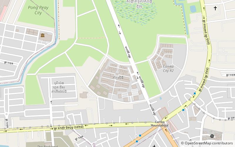
CamKo City is a $2 billion urban development project in Phnom Penh, Cambodia. CamKo City means Cambodia and Korea City. CamKo City is the first mega infrastructure project in Cambodia via foreign direct investment. It is chaired and approved during the Cabinet meeting in December 2005 by H.E Samdech Prime Minister of the Royal Government of Cambodia. It is fully supported by COM of the Kingdom of Cambodia. ()
Elevation: 16 ft a.s.l.Coordinates: 11°35'40"N, 104°53'38"E
Address
Phnom Penh
ContactAdd
Social media
Add
Day trips
Camko City – popular in the area (distance from the attraction)
Nearby attractions include: Boeung Kak, American University of Phnom Penh, RSN Stadium, Zaman University.
Frequently Asked Questions (FAQ)
How to get to Camko City by public transport?
The nearest stations to Camko City:
Bus
Bus
- Stop 26 - Bodamic Company - Bus Line 07 • Lines: 7 (9 min walk)
- Stop 27 - Bodamic Company - Bus Line 07 • Lines: 7 (9 min walk)


