Khan Mean Chey, Phnom Penh
Map
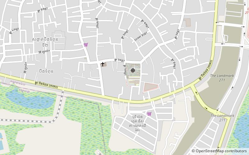
Map

Facts and practical information
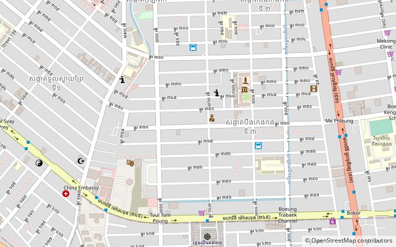
Mean Chey is an administrative district located in the south-eastern part of Phnom Penh, Cambodia. As of 2019, due to boundary changes, its population decreased from 2008 but is the second most populous district of Phnom Penh. ()
Address
Phnom Penh
ContactAdd
Social media
Add
Day trips
Khan Mean Chey – popular in the area (distance from the attraction)
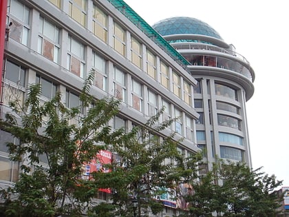
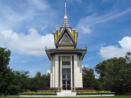
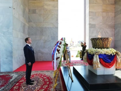
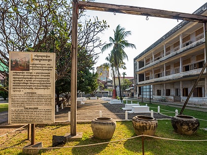
Nearby attractions include: Olympic Stadium, Sorya Shopping Center, Choeung Ek, Independence Monument.
Frequently Asked Questions (FAQ)
How to get to Khan Mean Chey by public transport?
The nearest stations to Khan Mean Chey:
Bus
Bus
- Stop 60 - British Cambodian Intern. School - Bus Line 07 • Lines: 7 (14 min walk)
- Stop 61 - British Cambodian Intern. School - Bus Line 07 • Lines: 7 (16 min walk)


