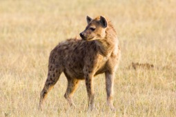
Bénoué National Park
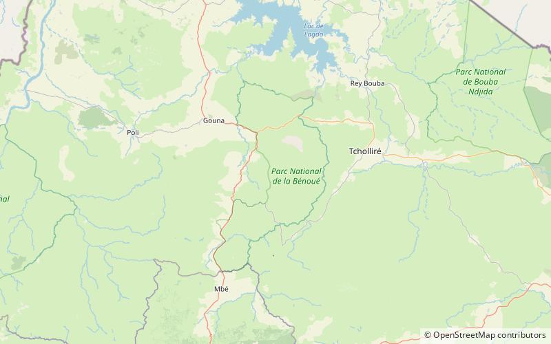
Map
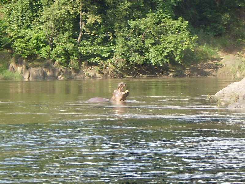
Gallery
Facts and practical information
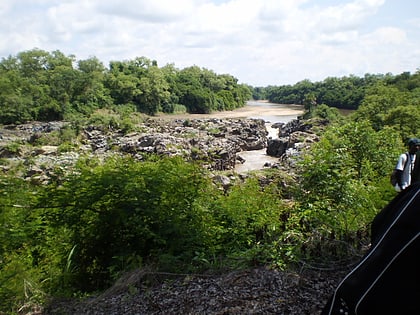
Bénoué National Park is a national park of Cameroon and a UNESCO designated Biosphere Reserve. It is 180,000 ha in size. The park has a wide frontage to the Bénoué River, which stretches for over 100 km, forming the eastern boundary. The public road to Tcholliré cuts across the northern part of the park. The western boundary is made up of the main road linking the towns of Garoua to the north, with Ngaoundéré to the south. The park can be accessed coming north from Ngaoundéré. ()
Alternative names: Established: 1968 (58 years ago)Area: 694.98 mi²Elevation: 1309 ft a.s.l.Coordinates: 8°19'8"N, 13°48'31"E
Location
Nord
ContactAdd
Social media
Add
Best Ways to Experience the Park
Wildlife
AnimalsSee what popular animal species you can meet in this location.
More
Show more
