Lobéké National Park

Facts and practical information
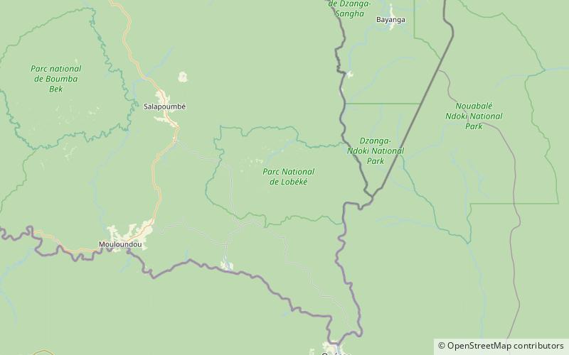
Lobéké National Park is a national park of southeastern Cameroon within the Moloundou Arrondissement of East Province. Located in the Congo Basin, it is bounded on the east by the Sangha River which serves as Cameroon's international border with Central African Republic and the Republic of the Congo. It is adjacent to two other reserves in the CAR and Congo. To the northwest is Boumba Bek National Park, another national park in Cameroon's East Province. ()
Est
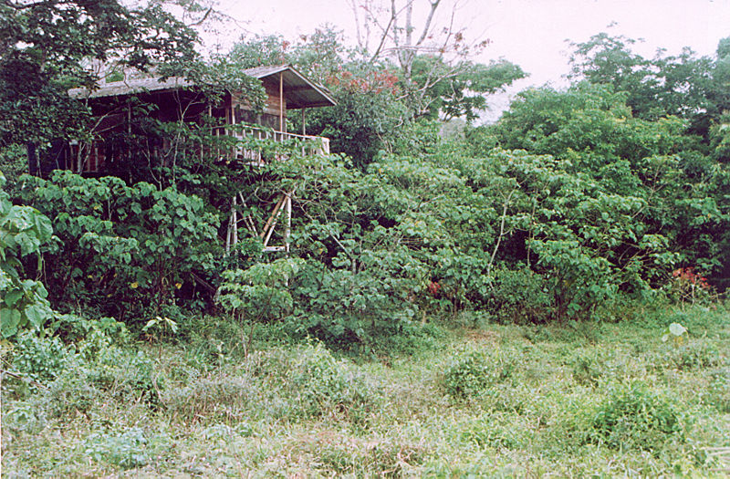
Best Ways to Experience the Park
Wildlife
AnimalsSee what popular animal species you can meet in this location.
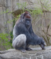
Western lowland gorilla
The western lowland gorilla, a subspecies of the western gorilla, resides in central Africa. These remarkable creatures inhabit the forests of Angola, Cameroon, the Republic of the Congo, the Democratic Republic of the Congo, Equatorial Guinea, and Gabon.
Mammals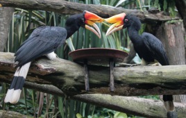
Rhinoceros hornbill
The rhinoceros hornbill is an impressive forest bird native to regions such as Borneo, Sumatra, Java, the Malay Peninsula, Singapore, and southern Thailand. In captivity, these birds can live up to 35 years. It holds a special significance in Malaysia, being the state...
Birds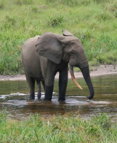
African forest elephant
The African forest elephant is a distinctive species that inhabits the humid forests of West Africa and the Congo Basin. As the smallest of the three elephant species, it is easily recognized by its straight, downward-pointing tusks.
Mammals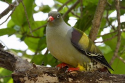
African green pigeon
The African green pigeon, a captivating bird from the Columbidae family, is one of five green pigeon species native to the Afrotropics. With approximately 17 recognized subspecies, these birds are prevalent throughout Sub-Saharan Africa.
Birds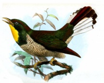
Yellow-throated cuckoo
The yellow-throated cuckoo, a captivating member of the Cuculidae family, flourishes in the dense, tropical rainforests of Africa. Its vivid plumage brings a touch of brilliance to these verdant ecosystems.
Birds