Mandara Mountains

Gallery (2)
Map
Map
Gallery
Facts and practical information
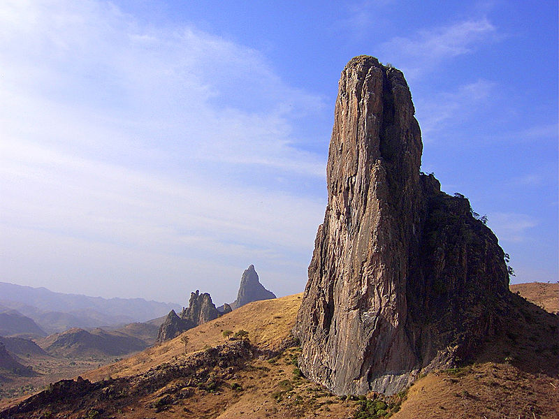
The Mandara Mountains are a volcanic range extending about 190 km along the northern part of the Cameroon–Nigeria border, from the Benue River in the south to the north-west of Maroua in the north. The highest elevation is the summit of Mount Oupay, at 1,494 m above sea level. ()
Location
Extrême-Nord
ContactAdd
Social media
Add