Milliken Park, Toronto
Map

Map

Facts and practical information
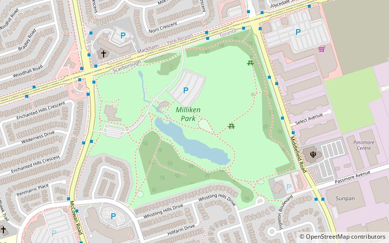
Milliken District Park is a park located in the Scarborough area of Toronto, Ontario, Canada. ()
Area: 79.07 acres (0.1236 mi²)Elevation: 617 ft a.s.l.Coordinates: 43°49'46"N, 79°16'14"W
Day trips
Milliken Park – popular in the area (distance from the attraction)
Nearby attractions include: Markville Shopping Centre, Pacific Mall, Woodside Square, Splendid China Mall.
Frequently Asked Questions (FAQ)
How to get to Milliken Park by public transport?
The nearest stations to Milliken Park:
Bus
Bus
- Steeles Avenue at Opposite Walkway to Norm Crescent • Lines: (N) 353, 53A, 53B, 935A, 953B (5 min walk)

 Subway
 Streetcar system
 PATH
PATH


