De Smet Range, Jasper National Park
Map

Map

Facts and practical information
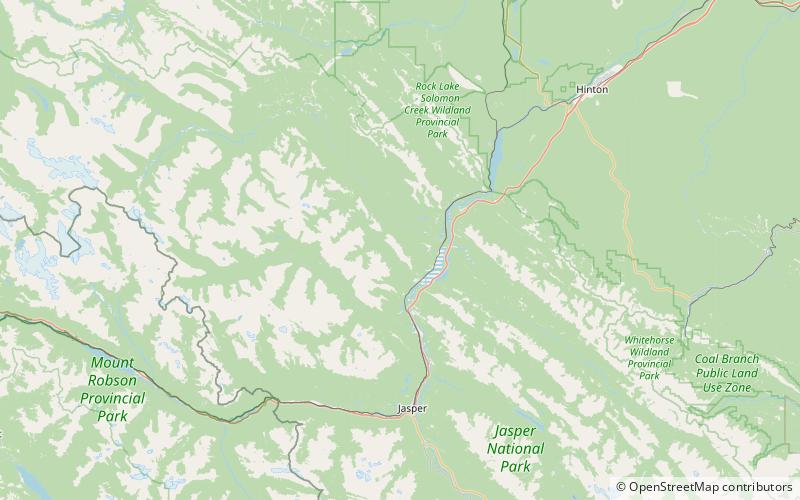
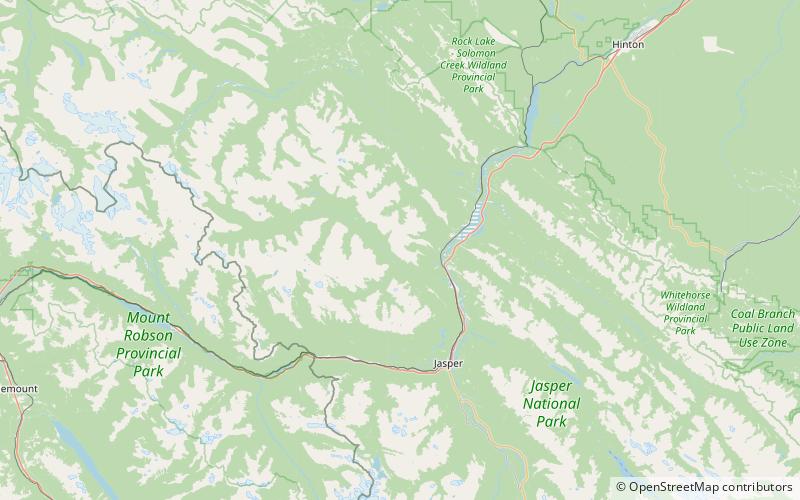
The De Smet Range is a mountain range of the Canadian Rockies located northwest of Highway 16 and Jasper Lake in Jasper National Park, Canada. The range is named after its highest point Roche de Smet, which in turn was named by Iroquois working in the fur trade industry. The Iroquois named the peak after Pierre-Jean De Smet, a Belgian missionary who had worked with the indigenous native peoples in the 1840s in Western Canada and Northwestern United States. ()
Maximum elevation: 8330 ftCoordinates: 53°8'5"N, 118°7'1"W
Address
Jasper National Park
ContactAdd
Social media
Add
Day trips
De Smet Range – popular in the area (distance from the attraction)
Nearby attractions include: Gargoyle Mountain, Mount Greenock, Esplanade Mountain, Jasper House.


