Fairholme Range, Banff National Park
Map

Map

Facts and practical information
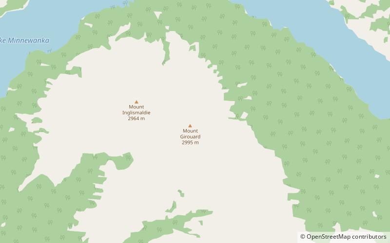
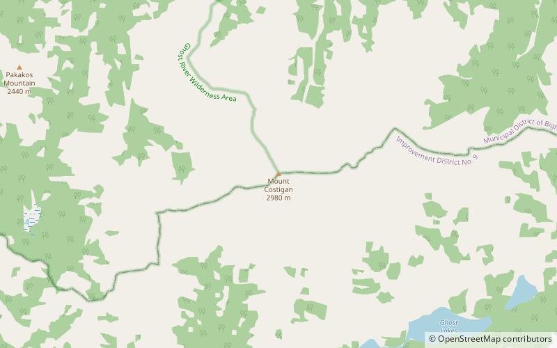
The Fairholme Range is a mountain range east of the Bow River valley in the Canadian Rockies. The range is bounded on the west side by the Trans-Canada Highway as it passes through the towns of Exshaw and Canmore, while the northern section of the range extends into Banff National Park to the southern shores of Lake Minnewanka. John Palliser named the range in 1859 after his sister Grace Fairholme, who had married William Fairholme. ()
Area: 344.4 mi²Elevation: 9826 ftCoordinates: 51°14'15"N, 115°24'4"W
Address
Banff National Park
ContactAdd
Social media
Add
Day trips
Fairholme Range – popular in the area (distance from the attraction)
Nearby attractions include: Lake Minnewanka, Mount Inglismaldie, Mount Girouard, Bow Valley.


