Mount Gloria, Banff National Park
#107 among attractions in Banff National Park

Facts and practical information
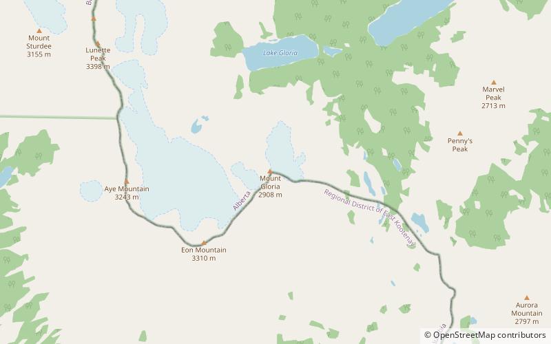
Mount Gloria is located on the border of Alberta and British Columbia on the Continental Divide in Canada. It was named in 1913 by the Interprovincial Boundary Survey after Lake Gloria. ()
Banff National Park Canada
Mount Gloria – popular in the area (distance from the attraction)
Nearby attractions include: Mount Assiniboine, Marvel Peak, Wedgwood Peak, Sunburst Peaks.
 Nature, Natural attraction, Mountain
Mount Assiniboine, Banff National Park
65 min walk • Mount Assiniboine, also known as Assiniboine Mountain, is a pyramidal peak mountain located on the Great Divide, on the British Columbia/Alberta border in Canada.
 Mountain
Marvel Peak
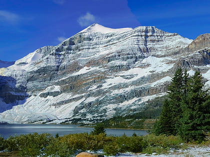
66 min walk • Marvel Peak is a 2,708-metre mountain summit located in the southern tip of Banff National Park, in the Canadian Rockies of Alberta, Canada.
 Mountain
Wedgwood Peak, Mount Assiniboine Provincial Park
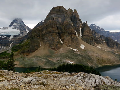
97 min walk • Wedgwood Peak is a 3,024-metre mountain summit located in Mount Assiniboine Provincial Park, in the Canadian Rockies of British Columbia, Canada. Its nearest higher peak is Mount Assiniboine, 2.0 km to the south. The mountain is situated northwest of Lake Magog and 1.0 km south of Sunburst Peaks.
 Mountain
Sunburst Peaks, Mount Assiniboine Provincial Park
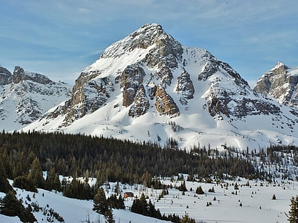
118 min walk • Sunburst Peaks is a 2,849-metre mountain summit located in Mount Assiniboine Provincial Park, in the Canadian Rockies of British Columbia, Canada. Its nearest higher peak is Wedgwood Peak, 1.0 km to the south.
 Mountain
Naiset Point, Mount Assiniboine Provincial Park
87 min walk • Naiset Point is a 2,755-metre mountain summit located in Mount Assiniboine Provincial Park, in the Canadian Rockies of British Columbia, Canada.
 Nature, Natural attraction, Mountain
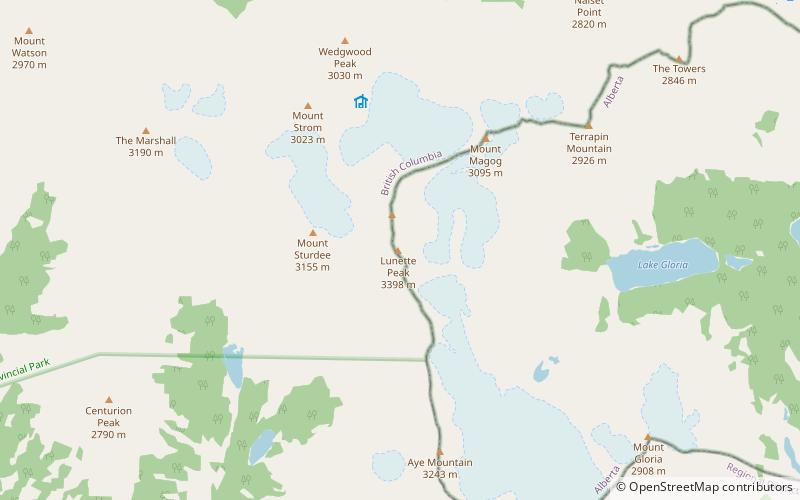
Lunette Peak, Banff National Park
61 min walk • Lunette Peak is located on the border of Alberta and British Columbia on the SE side of Mount Assiniboine along the Continental Divide. It was named in 1913 by the Interprovincial Boundary Survey.
 Mountain
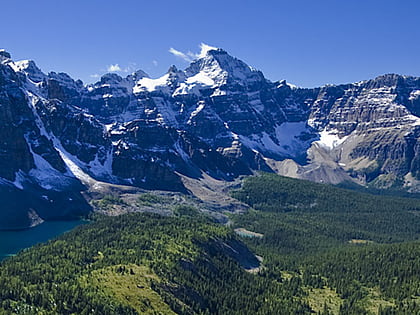
Mount Byng
94 min walk • Mount Byng is a 2,965-metre mountain summit located in the upper Spray River Valley of southern Banff National Park, in the Canadian Rockies of Alberta, Canada. It is the highest point in the Blue Range. Mount Byng's nearest higher peak is Mount Alcantara, 6.5 km to the...
 Mountain
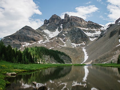
The Marshall, Mount Assiniboine Provincial Park
114 min walk • The Marshall is a 3,180-metre mountain summit located in Mount Assiniboine Provincial Park, in the Canadian Rockies of British Columbia, Canada. Its nearest higher peak is Mount Assiniboine, 3.0 km to the east-southeast. The mountain is situated west of Wedgwood Peak.
 Natural attraction, Mountain
The Towers, Mount Assiniboine Provincial Park
73 min walk • The Towers is a 2,842-metre mountain located on the border of Alberta and British Columbia on the Continental Divide. It also straddles the shared boundary of Banff National Park with Mount Assiniboine Provincial Park. It was named in 1917 by Arthur O. Wheeler.
 Nature, Natural attraction, Mountain
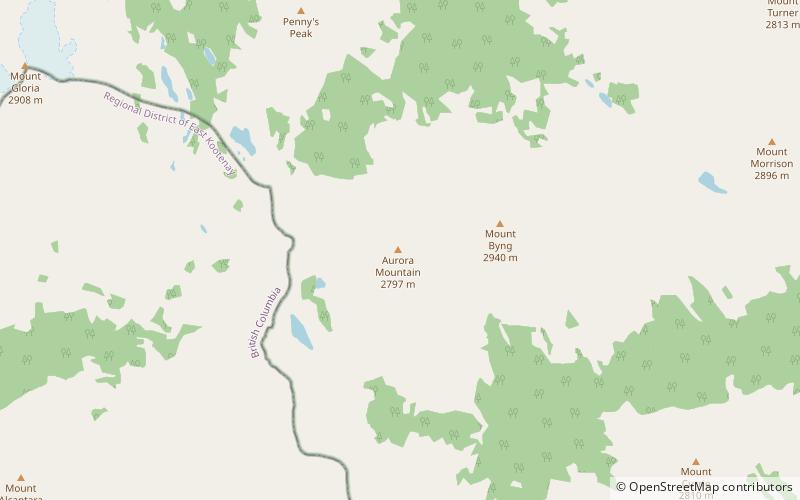
Aurora Mountain, Banff National Park
79 min walk • Aurora Mountain is located in the Blue Range of the Canadian Rockies, which forms part of the Continental Divide and the provincial boundary between British Columbia and Alberta. It is named after HMS Aurora, a British Royal Navy light cruiser launched in 1913 that was transferred to the Royal Canadian Navy in 1920.
 Nature, Natural attraction, Mountain
Eon Mountain, Banff National Park
28 min walk • Eon Mountain is located on the border of Alberta and British Columbia on the Continental Divide. It is Alberta's 41st highest peak, and the 53rd highest peak in British Columbia. It was named in 1901 by James Outram. The first ascent of Eon was made on July 17, 1921 by Winthrop E.
