Le Sanctuaire du Mont-Royal, Montreal
Map
Facts and practical information
Le Sanctuaire du Mont-Royal is a multi-phase condominium, commercial, athletic and medical complex located in the Côte-des-Neiges neighbourhood near the Outremont neighbourhood of Montreal, Quebec, Canada. The complex consists of seven phases, which contain a total of 925 residential units. Le Sanctuaire was built by Montreal-based luxury developer René Lépine Sr. head of Groupe Lépine. ()
Completed: 1990 (36 years ago)Floors: 16Coordinates: 45°30'44"N, 73°37'31"W
Address
Côte-des-Neiges-Notre-Dame-de-Gráce (Parc-Kent)Montreal
ContactAdd
Social media
Add
Getting there by public transportation
Public transportation stops near this location
- Metro
- Bus
- Train
 Metro
Metro
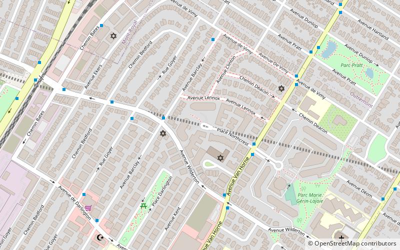
- Calculate routeBarclay / Wilderton 2 min walk
- Calculate routeVan Horne / Northcrest 4 min walk
- Calculate routeVan Horne / du Boisé 4 min walk
- Calculate routeGoyer / Wilderton 4 min walk
- Calculate routeCanora 12 min walk
- Calculate routeÉdouard-Montpetit 17 min walk
- Calculate routeUniversité-de-Montréal 19 min walk
- Calculate routeOutremont 19 min walk
- Calculate routeAcadie 20 min walk
Maps Metro
Metro
MetroDay trips


Frequently Asked Questions (FAQ)
Which popular attractions are close to Le Sanctuaire du Mont-Royal?
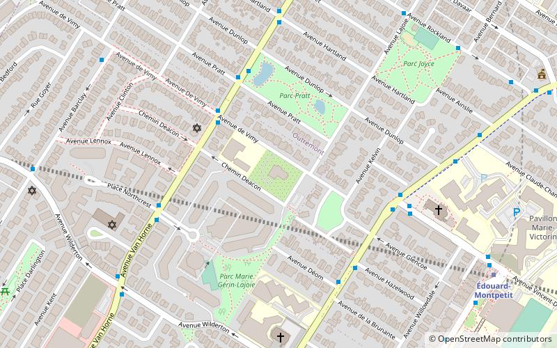
Nearby attractions include Mount Royal Tunnel, Montreal (7 min walk), Maison St-Raphaël, Montreal (8 min walk), Institut de pastorale des Dominicains, Montreal (12 min walk), Outremont, Montreal (14 min walk).
How to get to Le Sanctuaire du Mont-Royal by public transport?
The nearest stations to Le Sanctuaire du Mont-Royal:
Bus
Train
Metro
Bus
- Barclay / Wilderton • Lines: 160-O (2 min walk)
- Van Horne / Northcrest • Lines: 161-O (4 min walk)
Train
- Canora (12 min walk)
Metro
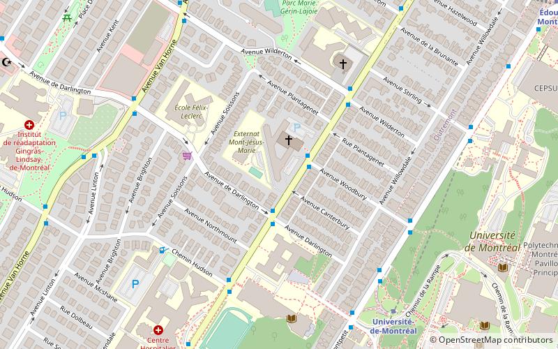
- Édouard-Montpetit • Lines: 5 (17 min walk)
- Université-de-Montréal • Lines: 5 (19 min walk)