Brockton Point Lighthouse, Vancouver
Map
Gallery
Facts and practical information
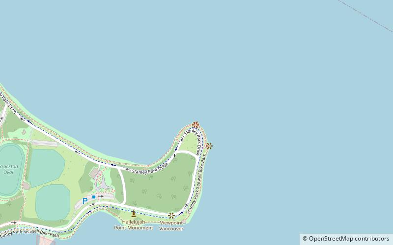
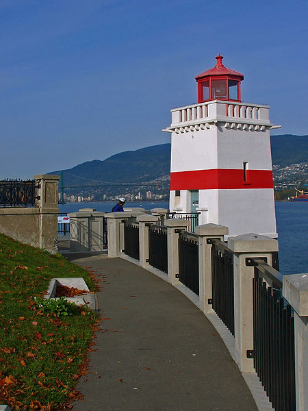
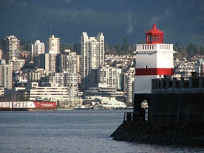
Brockton Point Lighthouse is located in Stanley Park, Vancouver, British Columbia. The light was first established at the location in 1890. A square tower, painted white with a red horizontal stripe, was built in 1914. The lighthouse was designed by William P. Anderson and has a red lantern and an arched base with a walkway underneath. The light has been officially inactive since 2008 but may still be displayed occasionally for decorative purposes. ()
Coordinates: 49°18'3"N, 123°7'1"W
Day trips
Brockton Point Lighthouse – popular in the area (distance from the attraction)
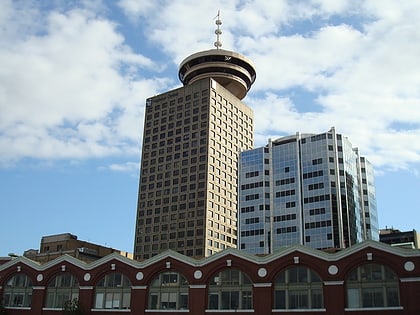
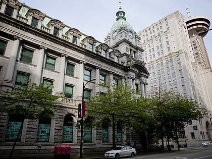
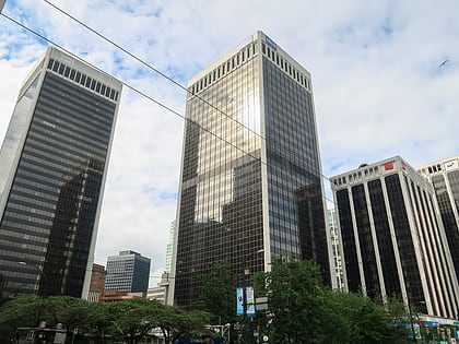
Nearby attractions include: Robson Street, Vancouver Aquarium, Harbour Centre, Sinclair Centre.
Frequently Asked Questions (FAQ)
Which popular attractions are close to Brockton Point Lighthouse?
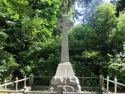
Nearby attractions include Chehalis Cross, Vancouver (2 min walk), Vancouver Aquarium, Vancouver (16 min walk), Coal Harbour, Vancouver (17 min walk), Stanley Park Horse-Drawn Tours, Vancouver (17 min walk).
How to get to Brockton Point Lighthouse by public transport?
The nearest stations to Brockton Point Lighthouse:
Trolleybus
Bus
Train
Ferry
Metro
Trolleybus
- Stanley Park Loop Bay 1 • Lines: 19 (20 min walk)
- West Pender St at Jervis St • Lines: 19 (24 min walk)
Bus
- Stanley Park Loop (20 min walk)
- West Georgia Street at Cardero Street • Lines: 240, 246, 250 (24 min walk)
Train
- North Vancouver (26 min walk)
- Waterfront (28 min walk)
Ferry
- Waterfront • Lines: SeaBus (27 min walk)
Metro
- Waterfront • Lines: Canada Line, Expo Line (27 min walk)
- Burrard • Lines: Expo Line (28 min walk)
 SkyTrain